
Giraween National Park
- 19/11/2015
“Fancy a road trip?” “Sure! Where to?” That’s the typical question and response muttered between my friends and myself. The conversation this time happened to be for a long drive to Giraween National Park with stops along the way to make the most of the venture.
Friday night, 2:15am; The time I’m supposed to be at Mark’s house ready for the road trip. I wake to a number of missed calls, texts, and a knock at my door; It’s 2:40am! Oops, I’ve slept in, my alarm either failed to go off or I’d swiped snooze without batting an eyelid. He had driven to my place! Quickly I pack all my gear, we load up his 4×4 and we’re off, but I’ve put us behind schedule. I’m usually prompt, so although I’m still waking up I am feeling awful knowing that we’re behind schedule because of me. We make great time though, and arrive into Aratula to meet another friend, Gareth, who jumps in and three strong we head to our first location; Sunrise at Lake Moogerah.
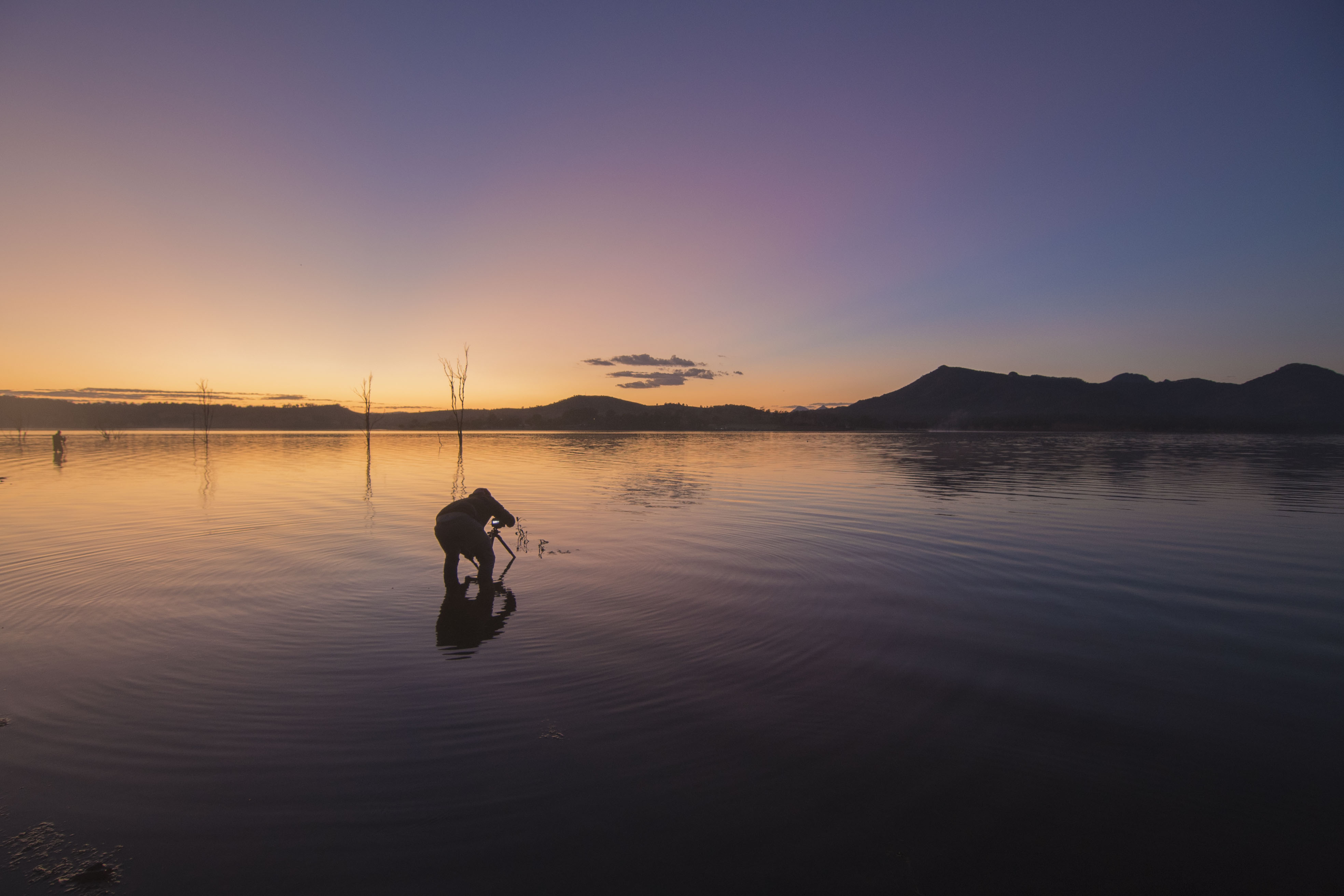
It ends up being a rather cloudless sky for us at Lake Moogerah. It’s not a disaster though and we make good use of the conditions and and makeshift props available to us by the waters edge as the sun rises over the distant mountains.
-

- Gareth (centre) and Mark (left) not afraid to get their feet wet for their shot.
-

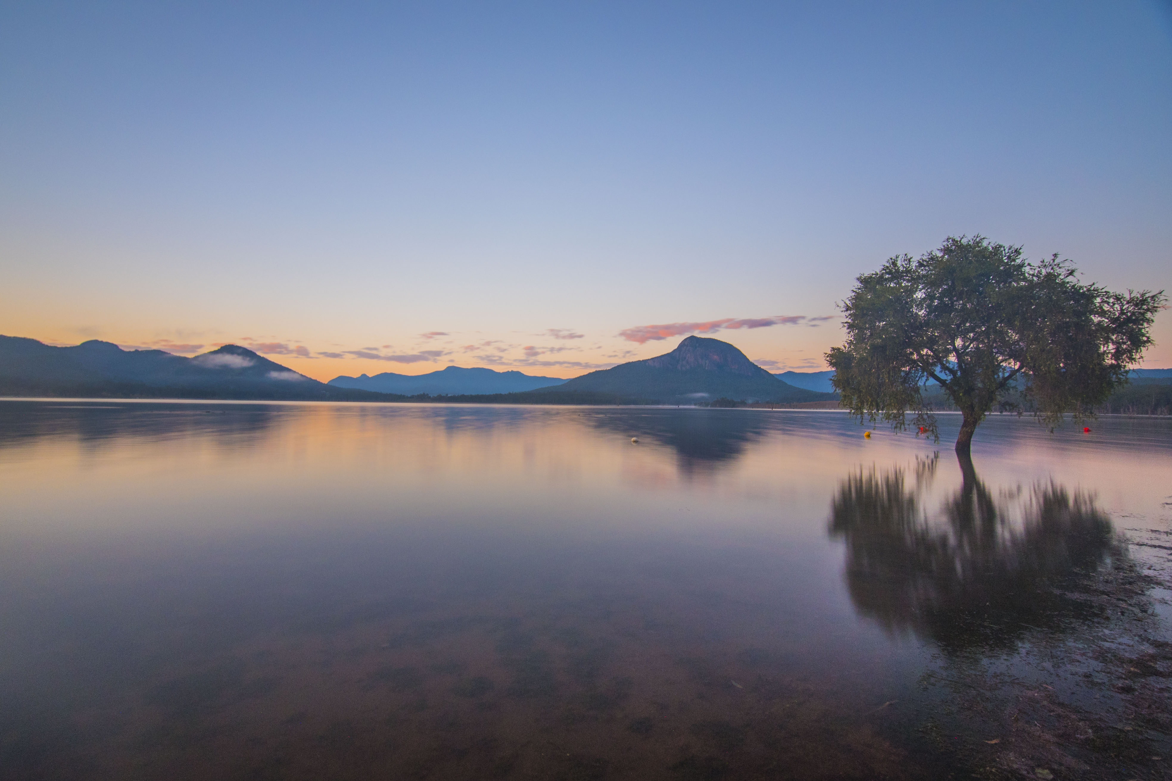
- Sunlight rising over the mountain range behind Lake Moogerah.
-
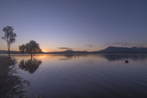
- Shadows and light in Lake Moogerah.
-

- Gareth taking a seat and wetting his feet at the same time watching the sun rise in Lake Moogerah.
-
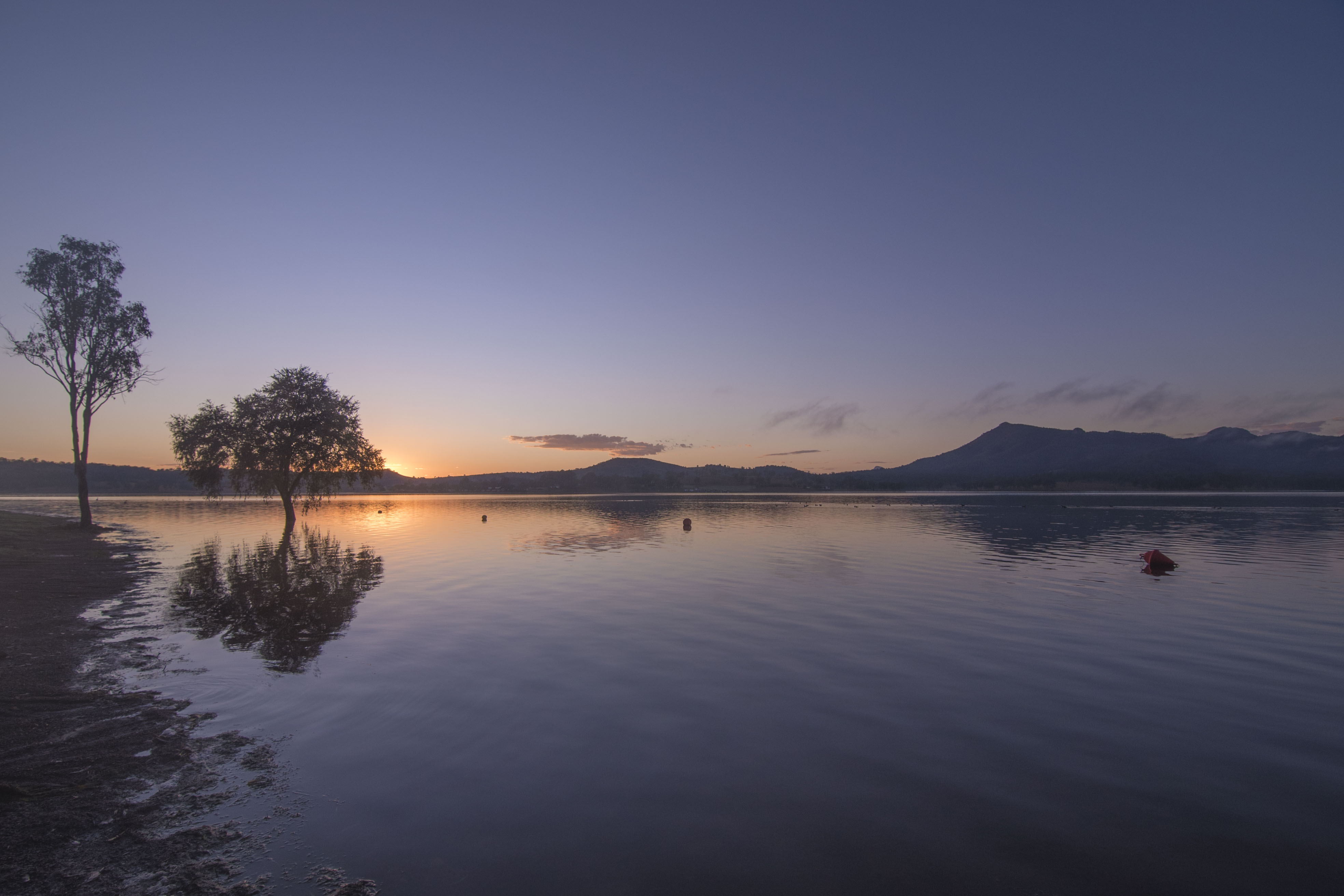
- Tyres floating in Lake Moogerah.

-
- Purple hues in Lake Moogerah.
On the road again, heading further from Brisbane, but with stomachs rumbling we make a breakfast pit-stop. Filled and fuelled we’re off again, detouring via Allora to see if the sunflowers are in bloom. Premature was our visit, with no hint of their golden faces shining upward. Disheartened we drive back through Allora and onto the highway continuing toward Giraween National Park.
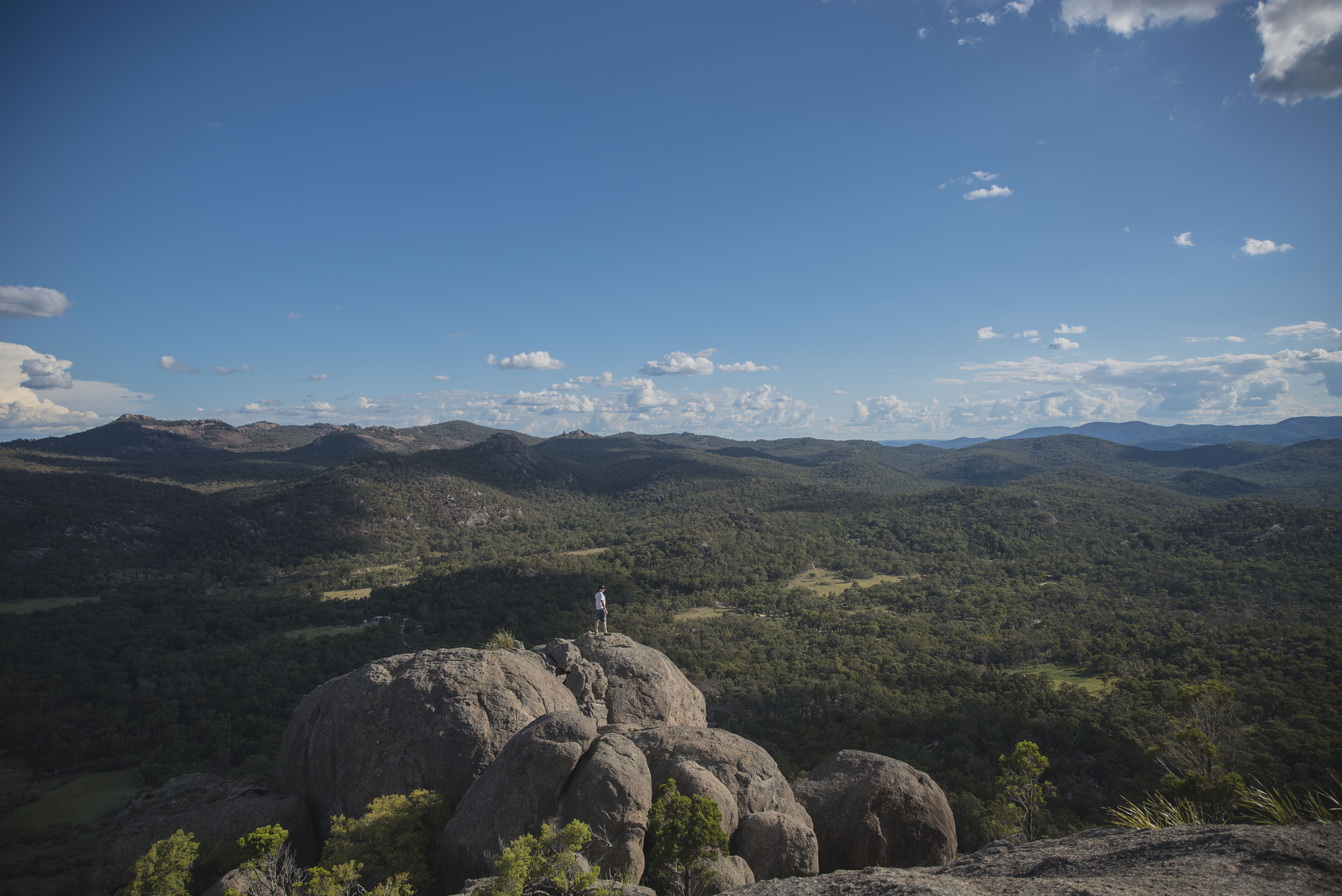
We made a short pit-stop at Underground Creek, a little deviation off Pyramids Road. The flat dirt walking track starts at the small carpark and is a very easy walk. After about 300m there’s a choice of venturing right to Dr. Roberts’ waterhole (~1.2km return) or Underground Creek (~2.8km return). We did both, but Underground Creek was worthy of most of our time. Underground creek follows Bald Rock Creek upstream, and there’s a rather spectacular over hanging cliff carved into the granite boulders. After our short walk and wandering around, under, through and over Underground Creek, we were back on the road driving around the corner to the carpark for The Pyramids. At this point, we had left Brisbane, viewed sunrise from Lake Moogerah, drove around Allora, had breakfast, checked out Underground Creek, and made it to The Pyramids carpark all before 11:00am. Hungry and thirsty once again under the scorching Summer heat, we went for a quick stroll around the base of The Pyramid in Giraween National Park to check out the cascades and granite formations. Giraween National Park is 260km south-west of Brisbane near Stanthorpe on the Queensland and New South Wales border but it is worth the drive through some beautiful scenery to be enjoyed along the way. Giraween is not the typical National Park, well, not the tropical parks on the outskirts of the Queensland coastline people may be accustomed to. Giraween (place of flowers), is home to precariously perched giant boulders, with gorgeous wildflowers in Spring. You’ll be likely to see a few Kangaroo’s too!
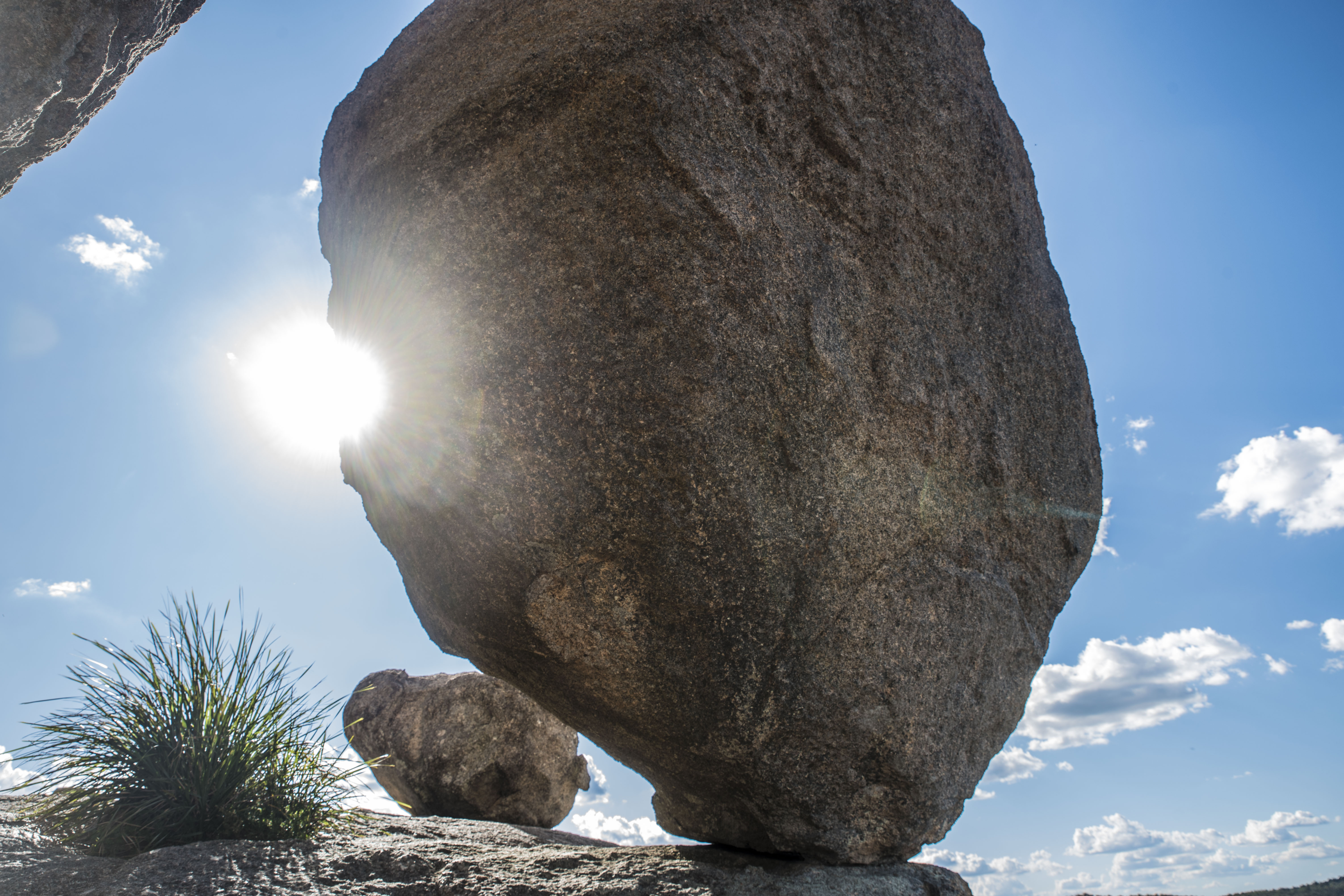
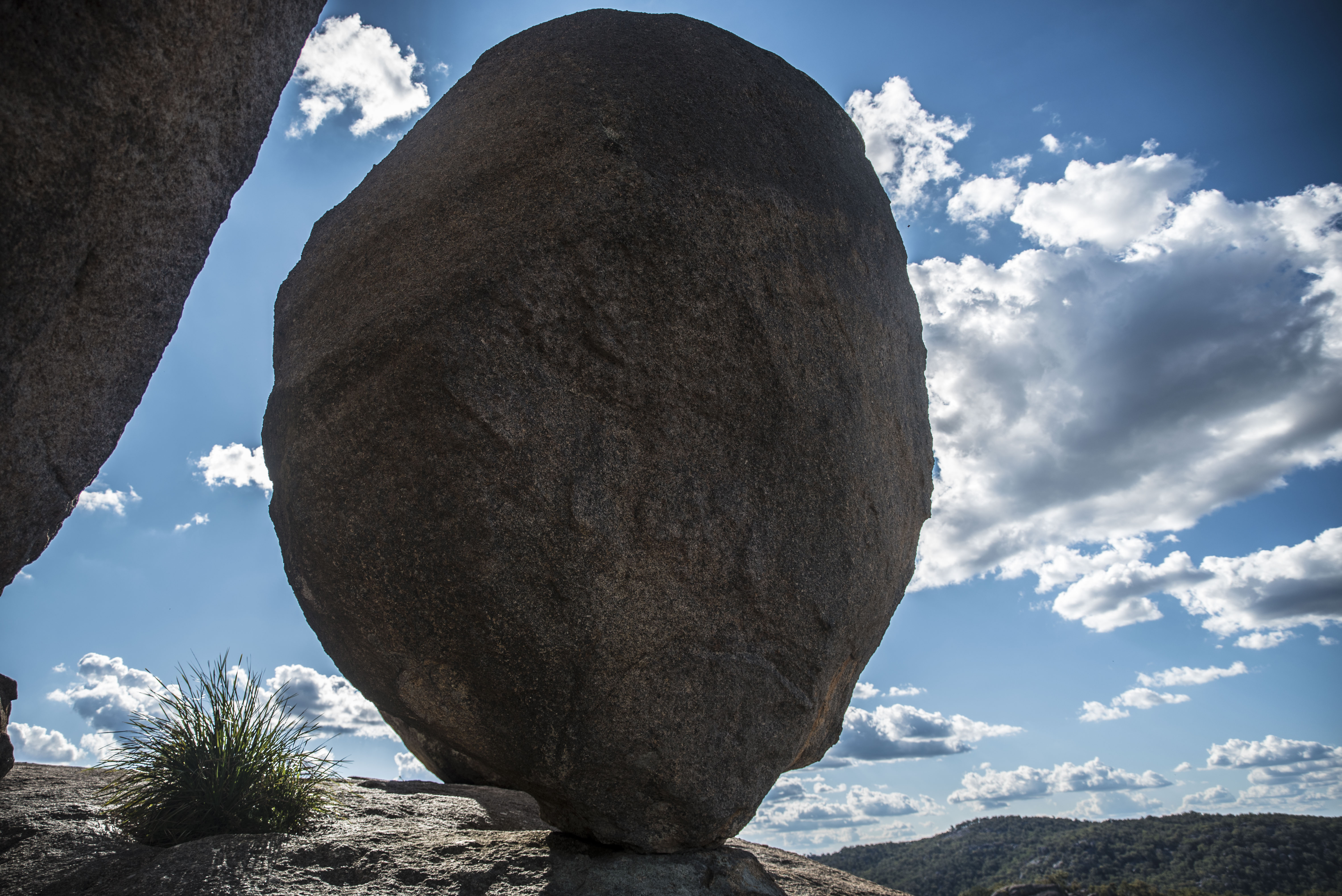
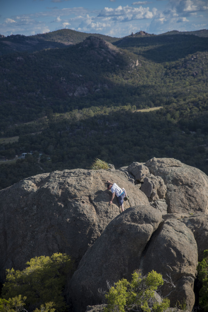
Back to the carpark and time for more food and drink, lunch time! Food devoured and thirsts quenched, we collected our gear, and made our way upward to the summit. The Pyramid is an unusual one. It doesn’t really require any climbing (unless you choose to scale the boulders along the way), but it is incredibly steep and there are with all outdoor activities there are some things to consider before attempting the summit trek. The granite rock is smooth and in wet or moist conditions becomes dangerously slippery. Attempting The Pyramid in such conditions would likely be perilous or at least resulting in grazed limbs; Do not attempt this in wet weather or in winter months early morning with precipitation on the surface. Shoes with thick tread are essential. Wear protective clothing and apply sunblock – there is not too much shade up the top and the direct sunlight can be harsh. Before you make your way down, take a photo of the balancing rock – there were many groups that day who went up and down without even viewing the balancing rock, it’s one of the best features after all that effort!
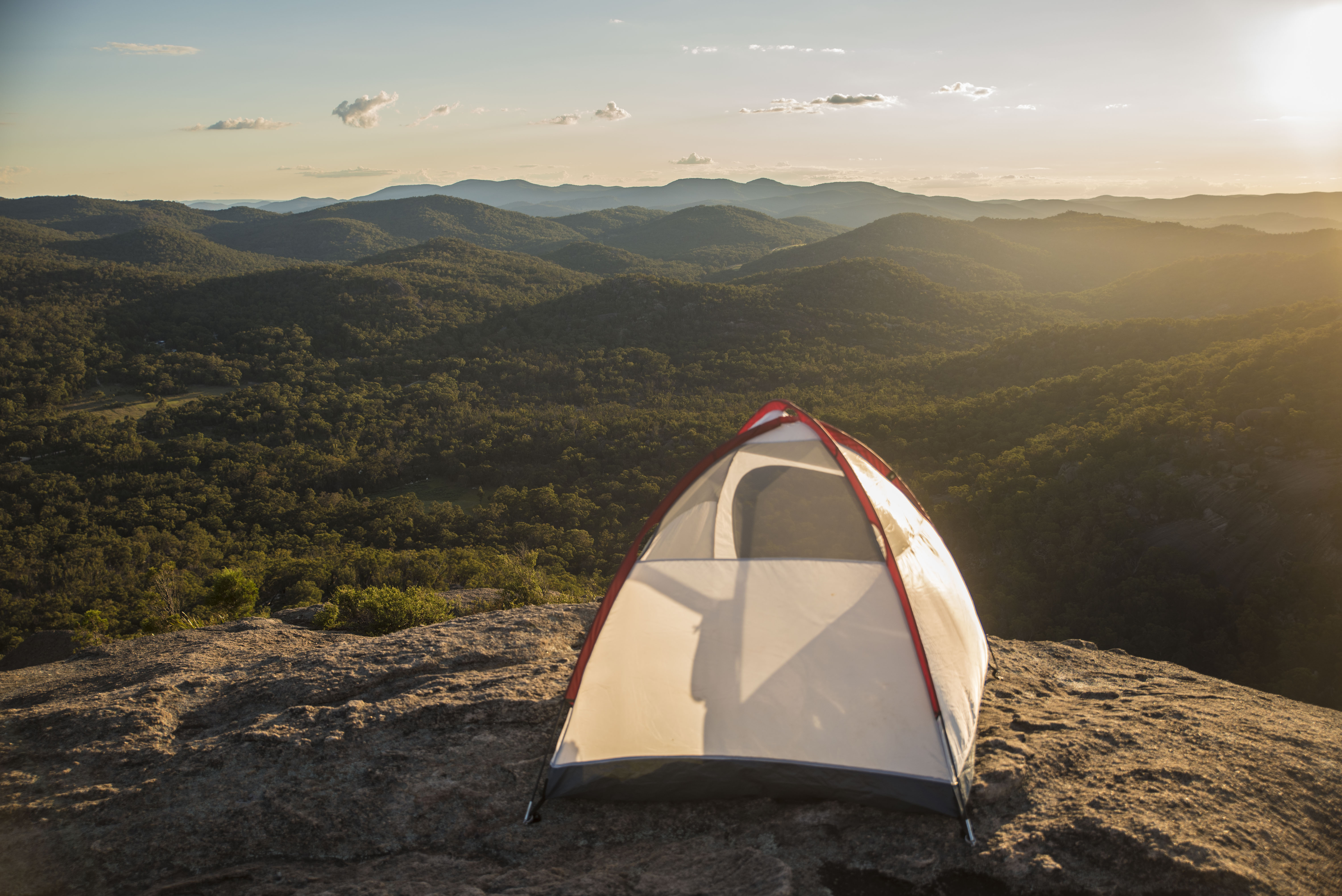
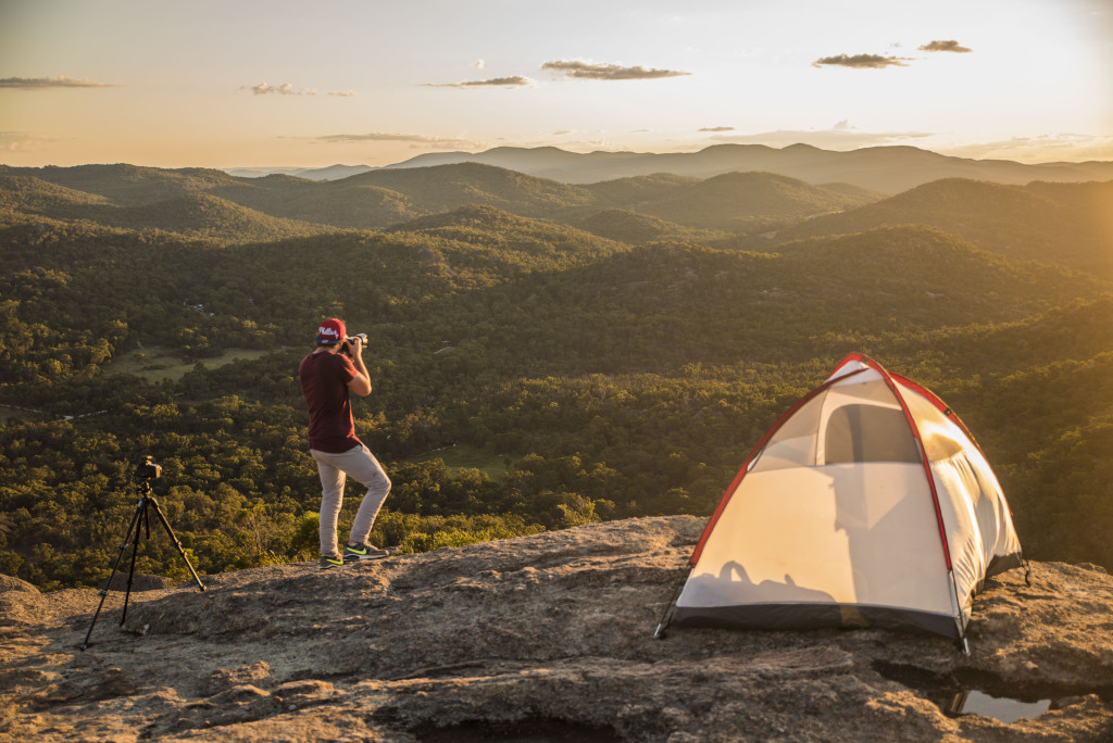
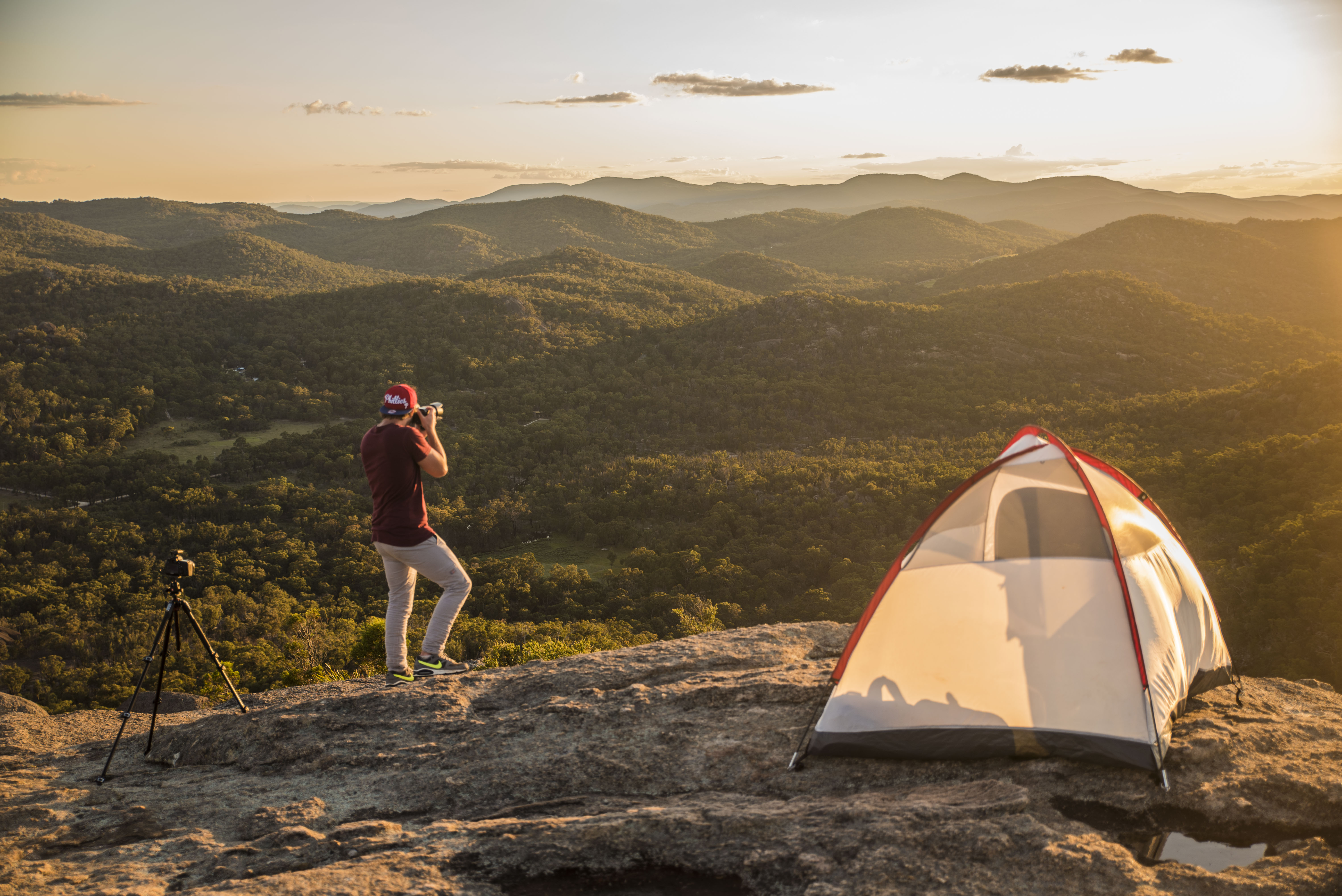
Onward we marched. There is no phone reception at the bottom of The Pyramid, but half way up once the rock formation stairs are reached, there’s some reception all the way to the top – A Godsend for someone like me who had to check back in at home on a loved one. I have trekked to the summit previously, but this time I felt it was a little harder – perhaps accounting for the sleeping bag and 3 man tent I was carrying this time. Reaching the summit with hours to spare before sunset, we fired off a few timelapses from various points around the boulders.
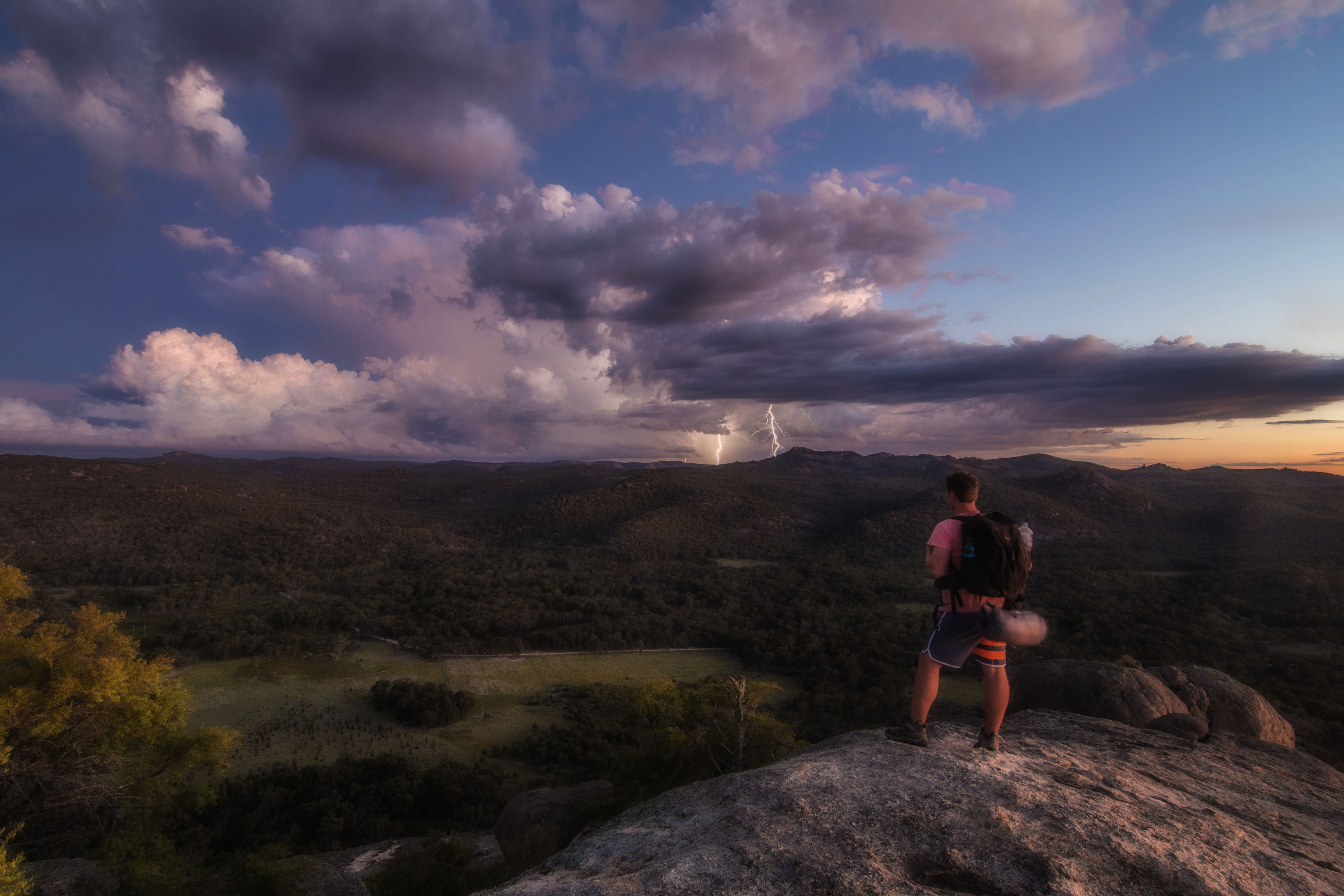
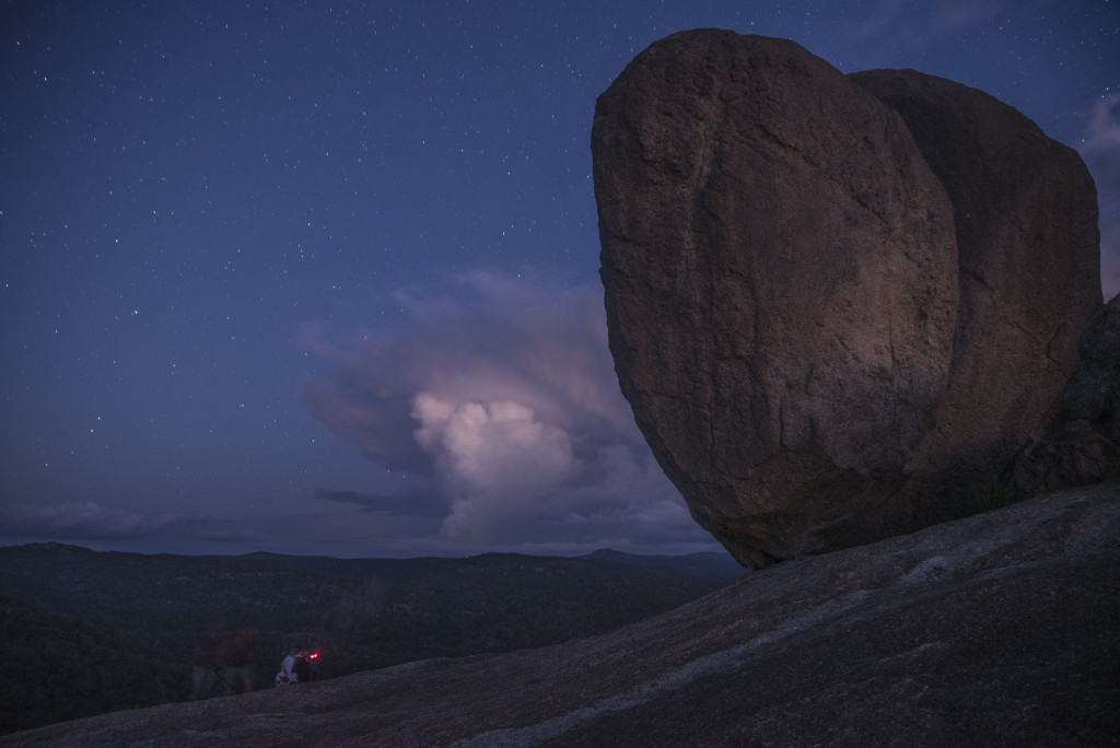
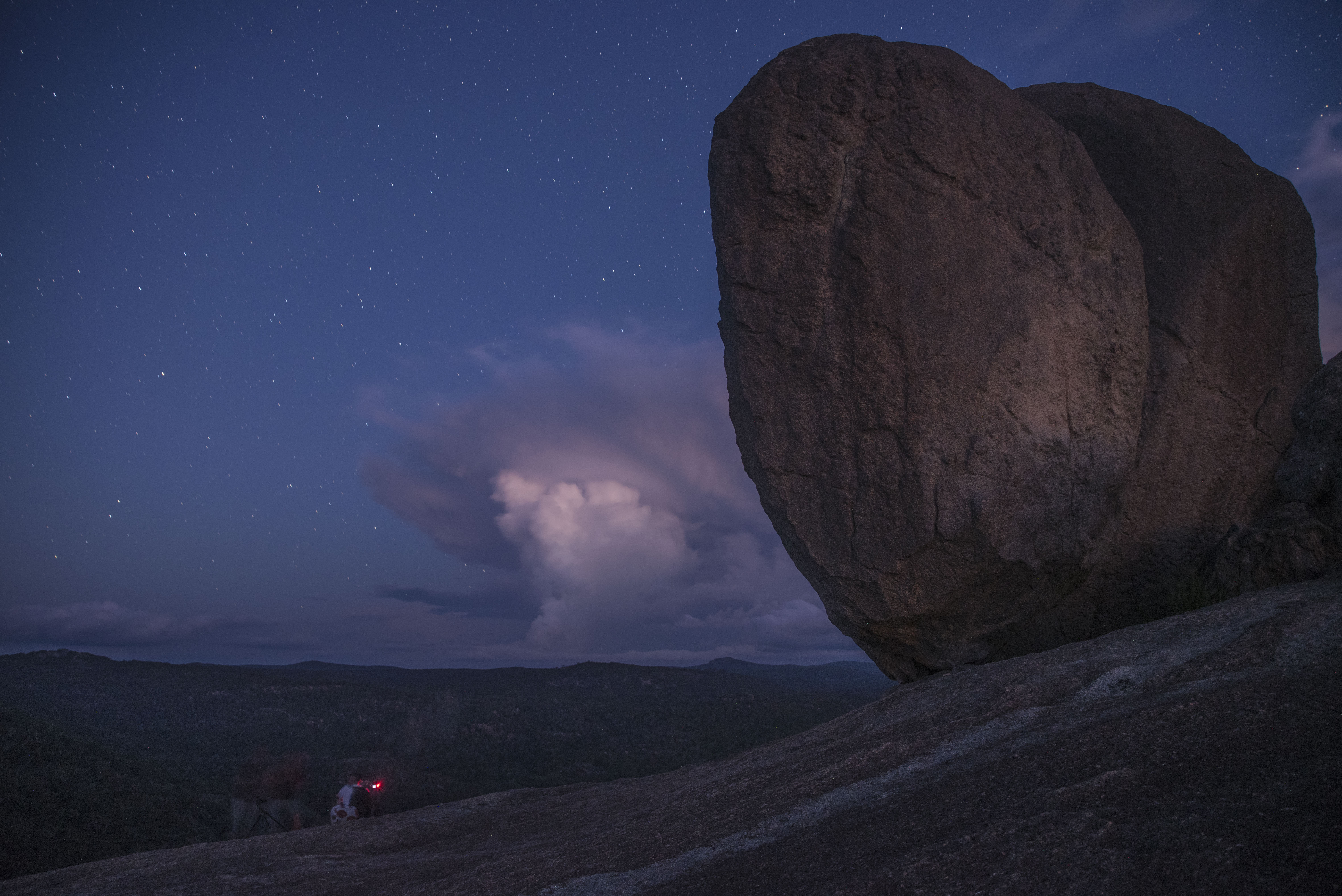
As the sun made it’s way down behind the horizon, on the other side of the mountain we could not help but notice the monstrous cloud formation in the distance brewing a violent storm. The Heavens were on our side as we stayed dry and with the best views around. We were presented with an illustrious masterpiece; a stunning sunset, clouds that became violent with thunderstorms so active and chaotic we didn’t know where to look.
-

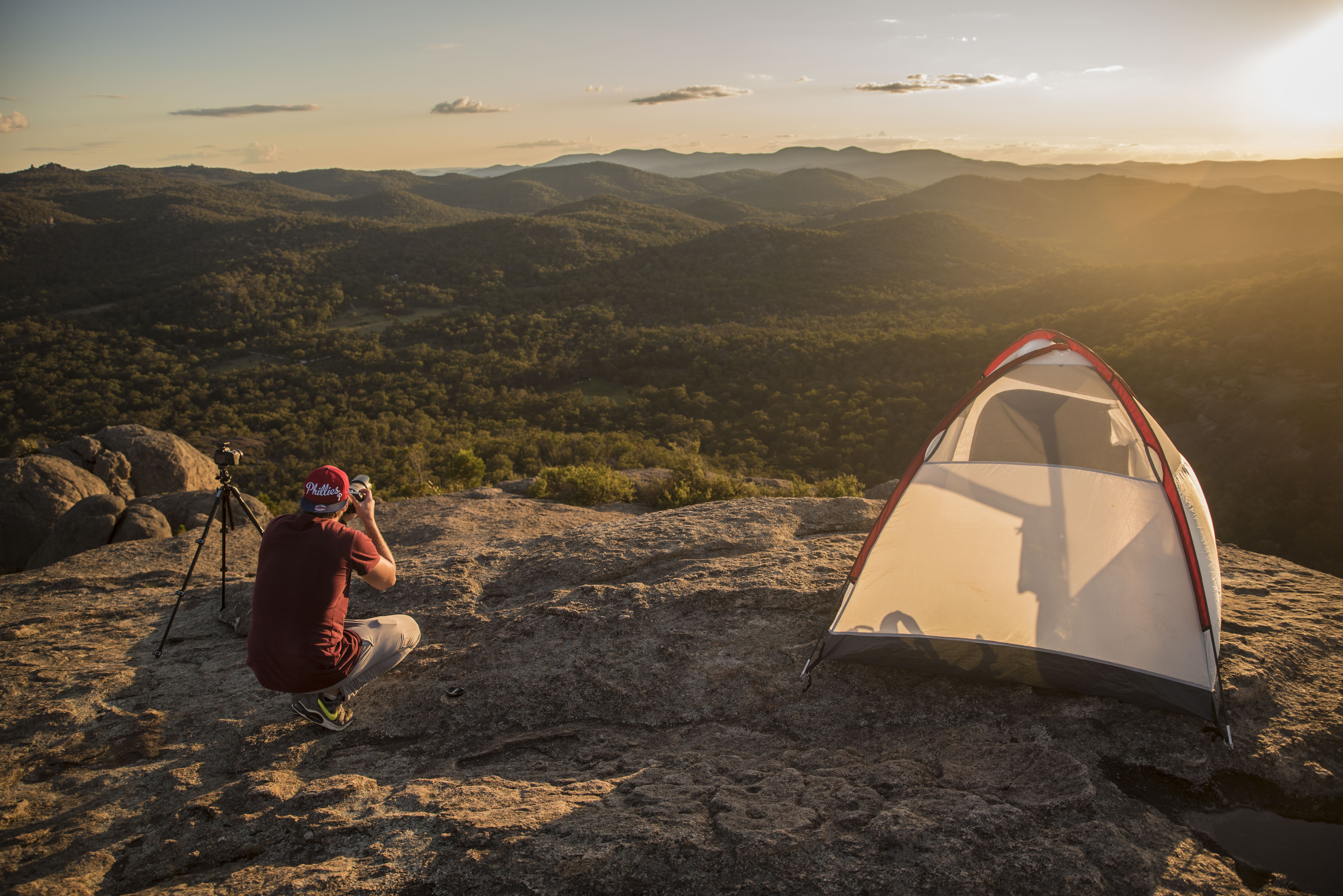
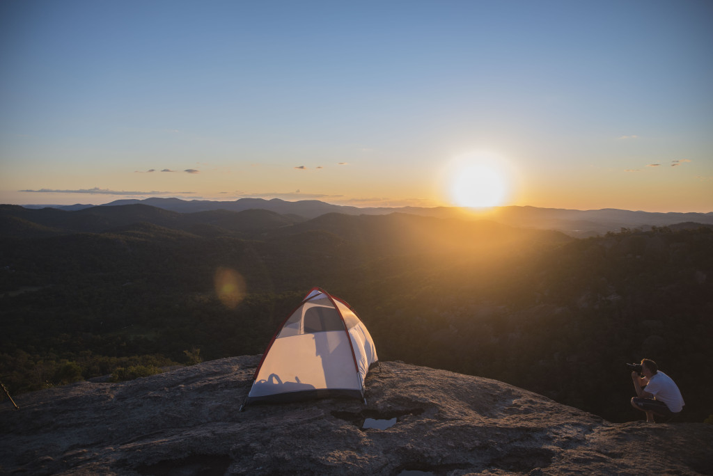
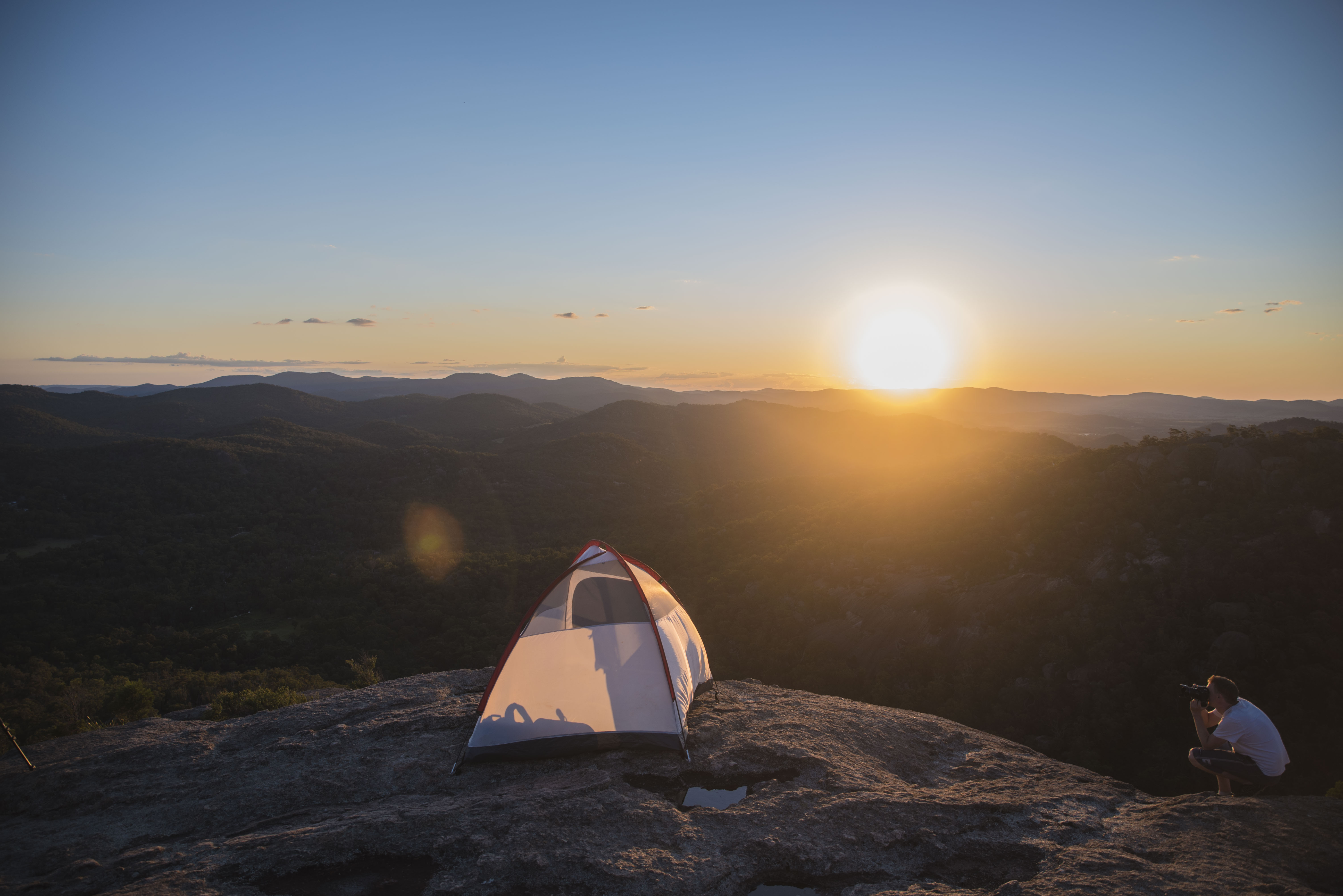
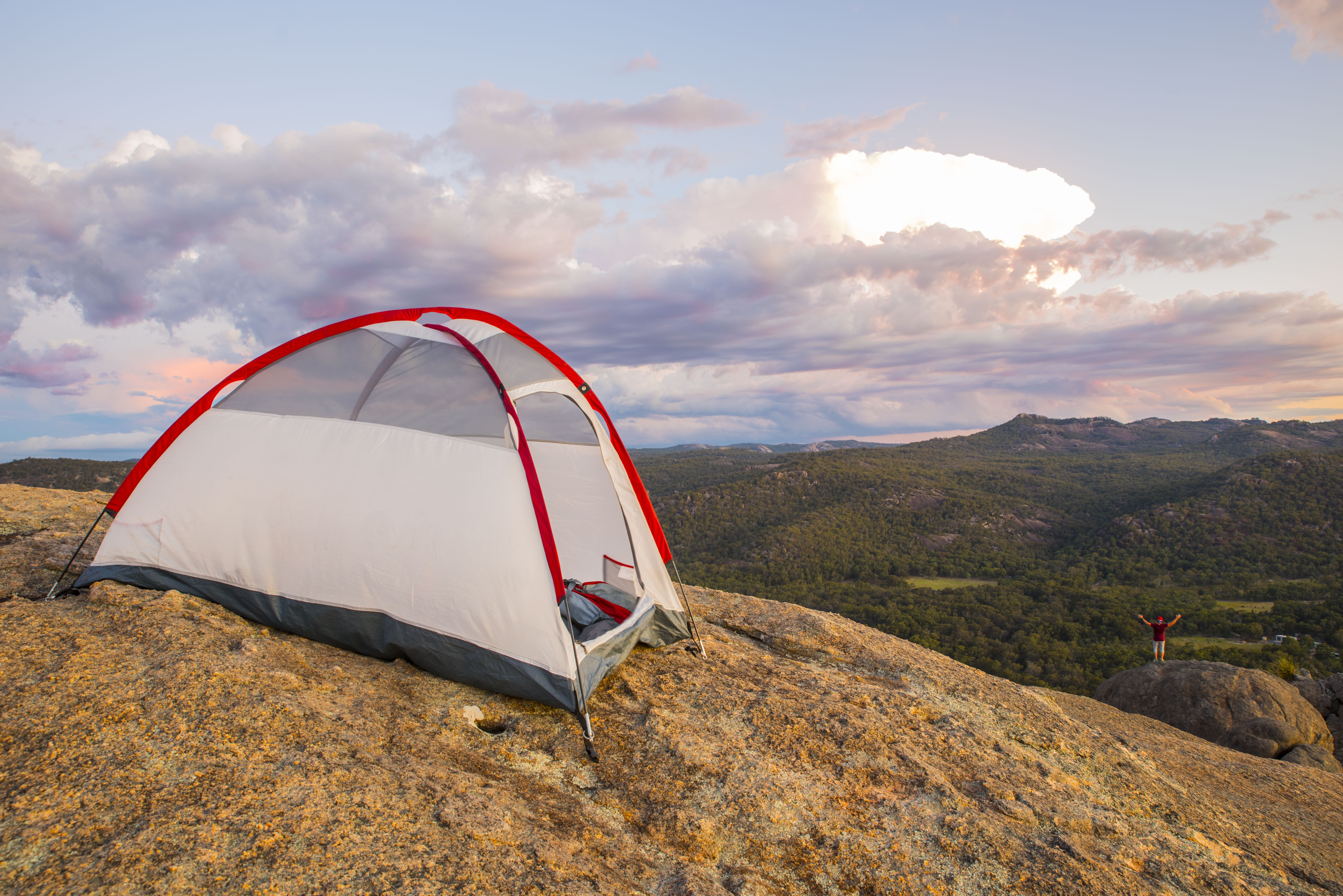
- Gareth and Tent.
-

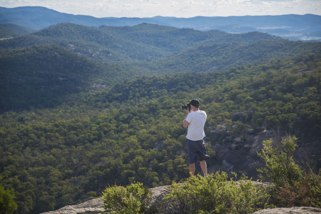
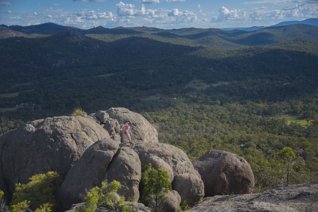
- Gareth taking photographs whilst seated high above sea level.
-
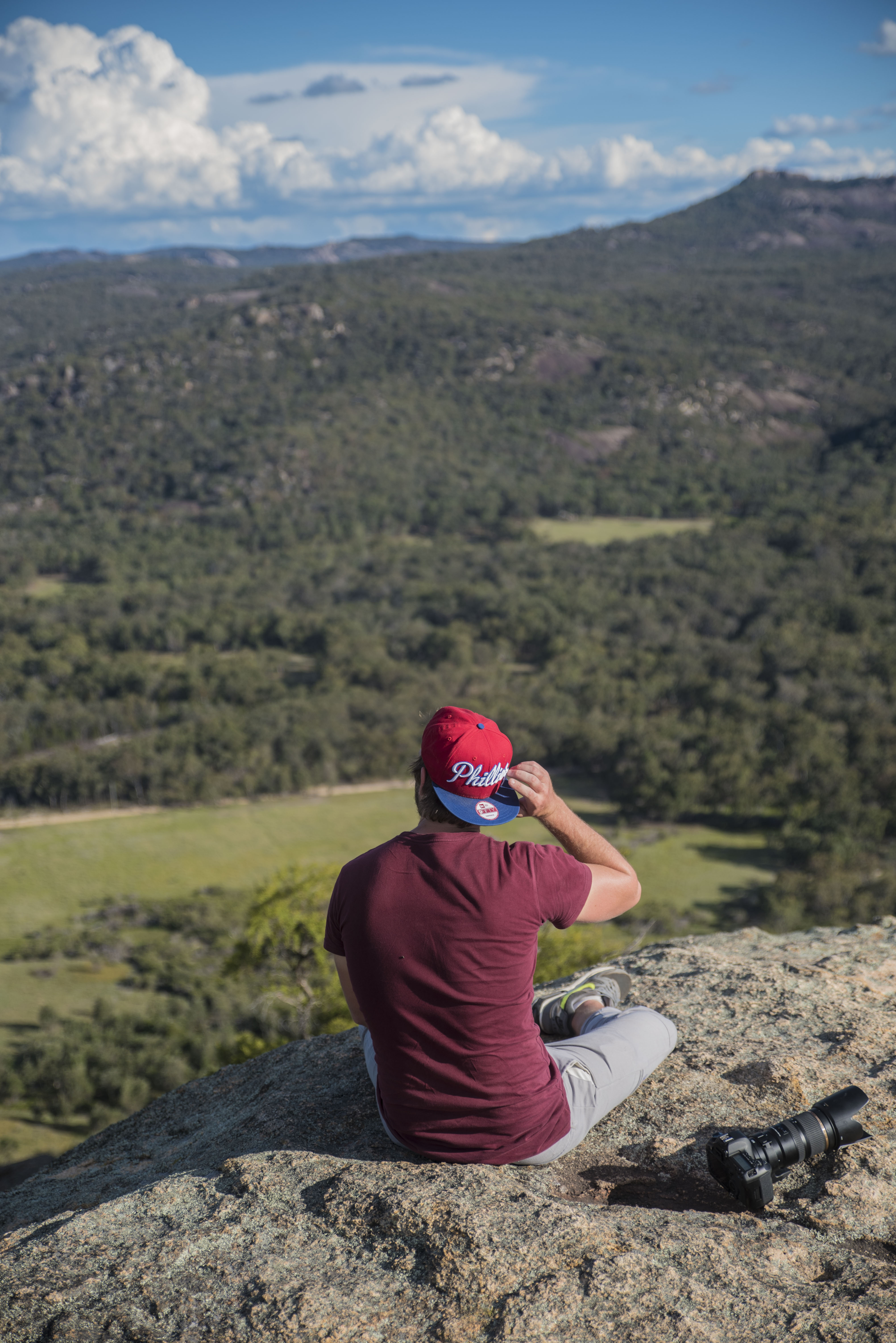
- Gareth moved but is still waiting for sunset.

-

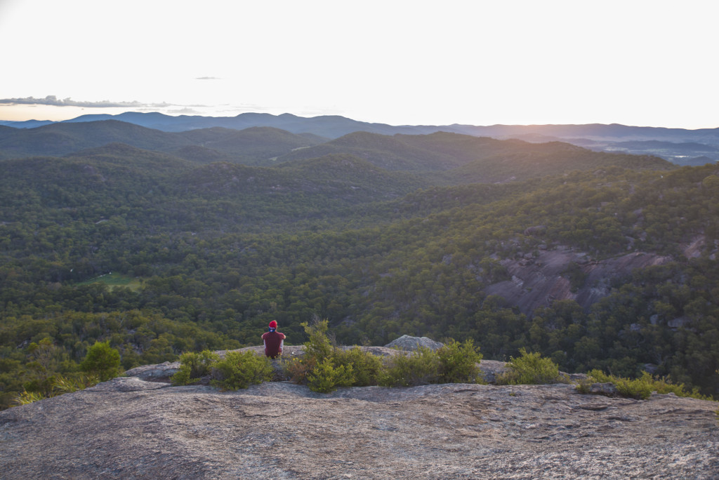
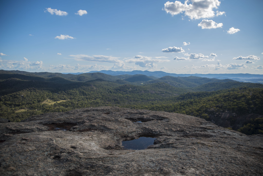
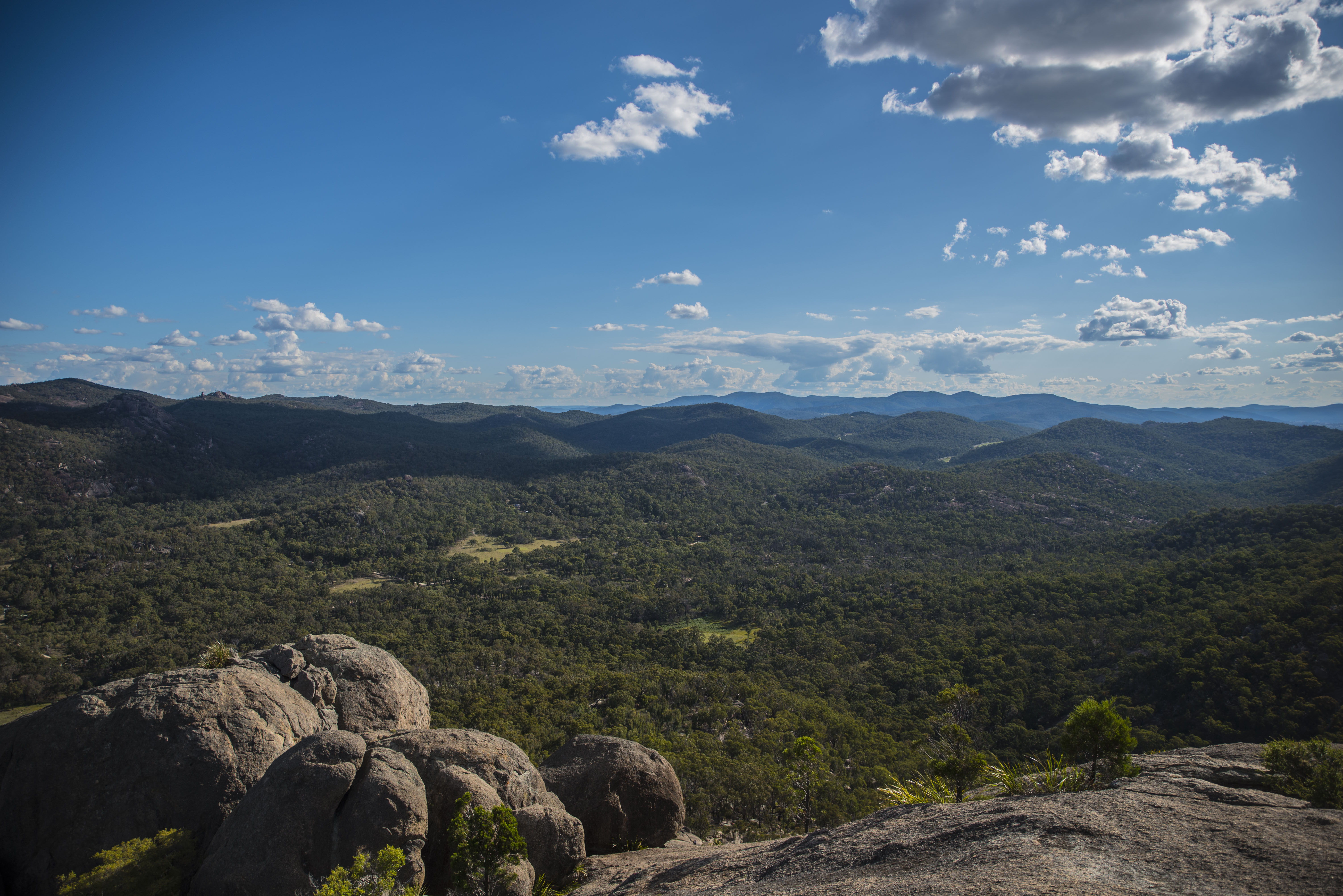
- The view is stunning from here; able to see down the bottom at the beginning of the hike to the summit.
-
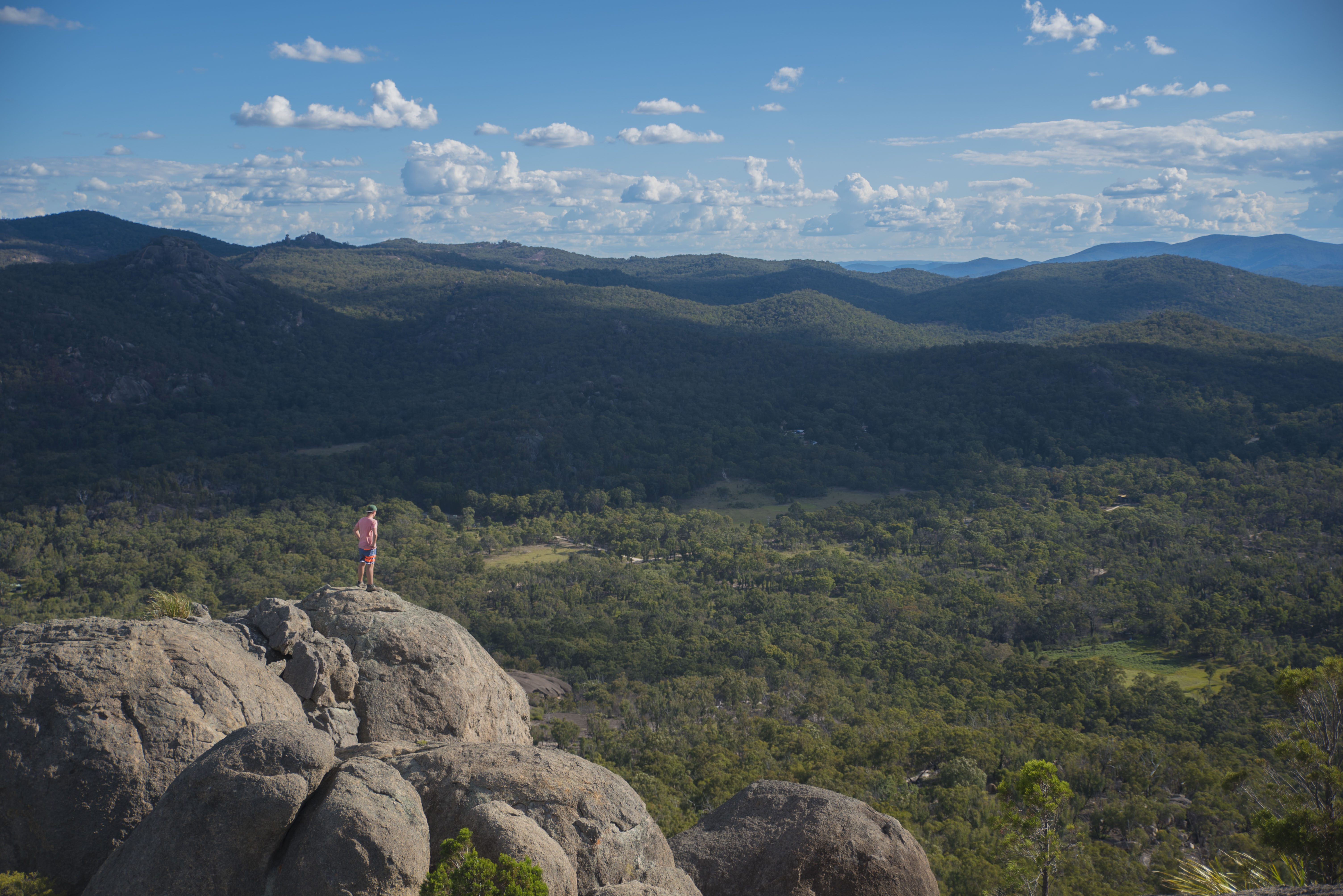
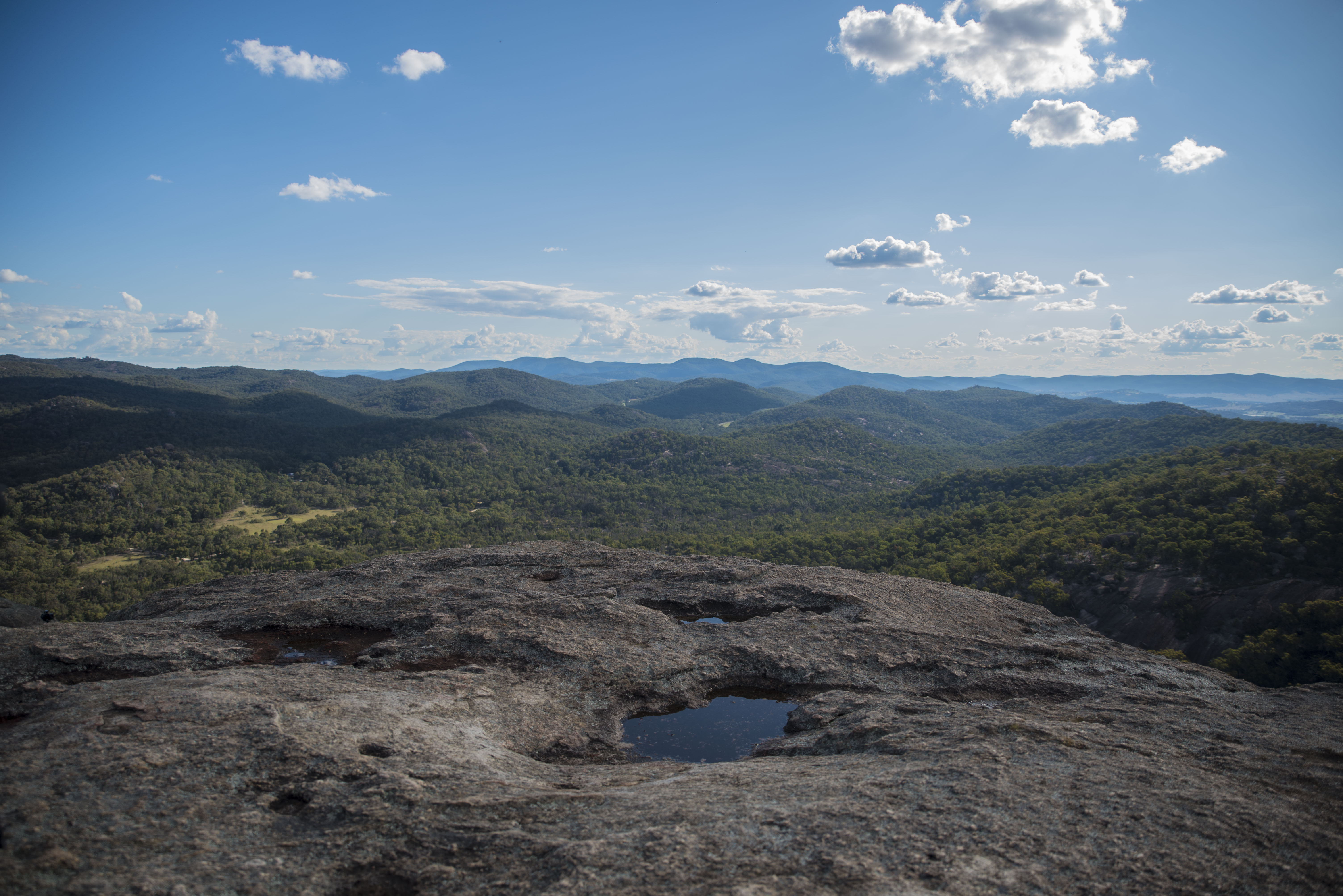
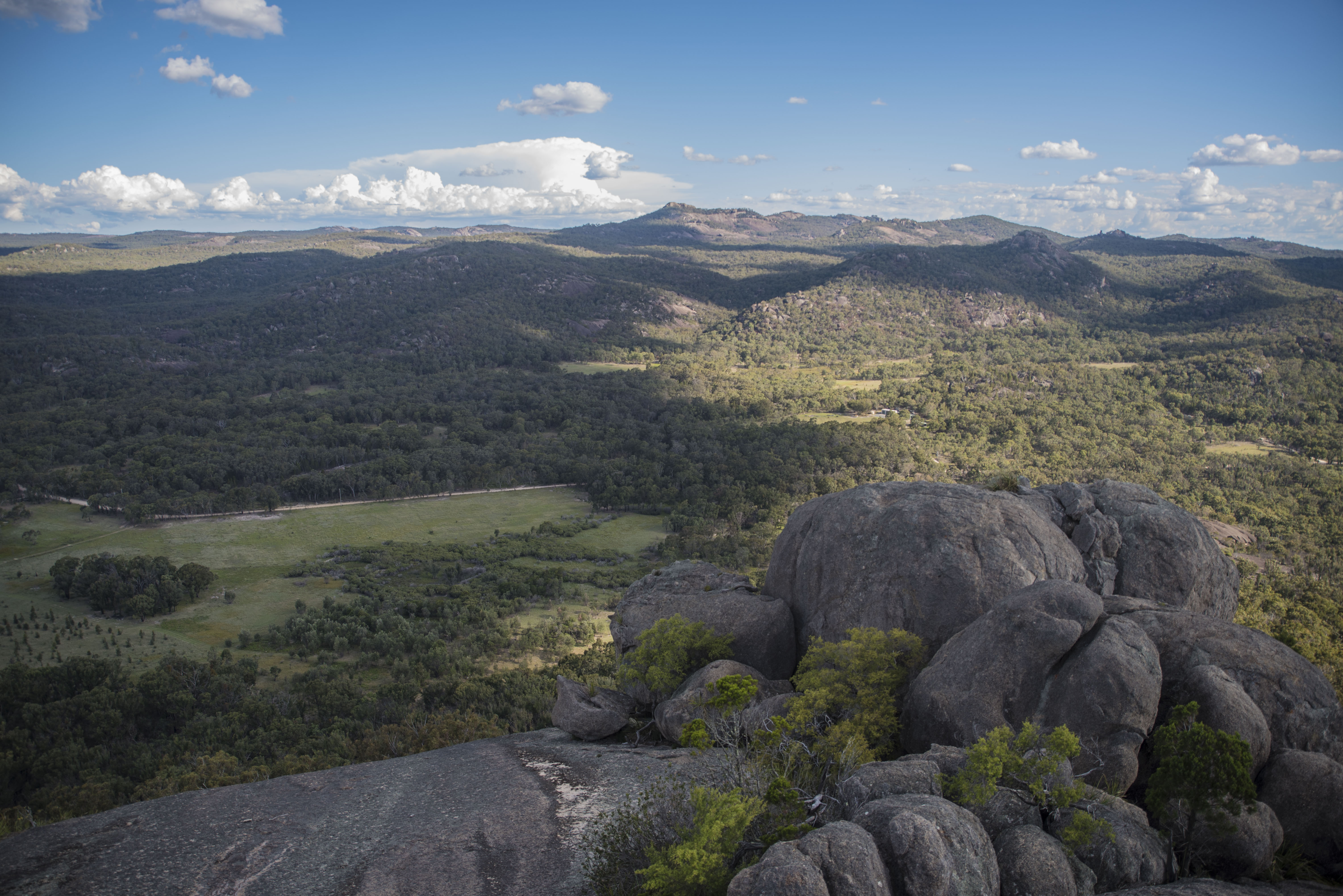
- Queensland’s vastness.

-

- Balancing Rock and a sun burst.
-
- Mid air.

-
- Sitting and resting…still.

-
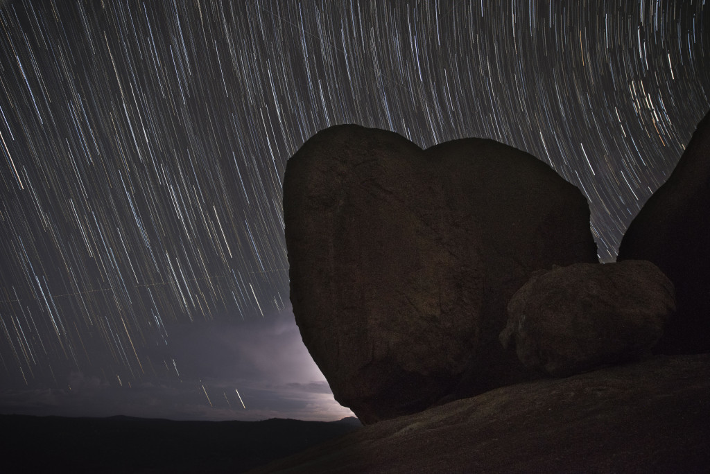
- About 30 minutes of star trails.

-
- Best not to drink…
-

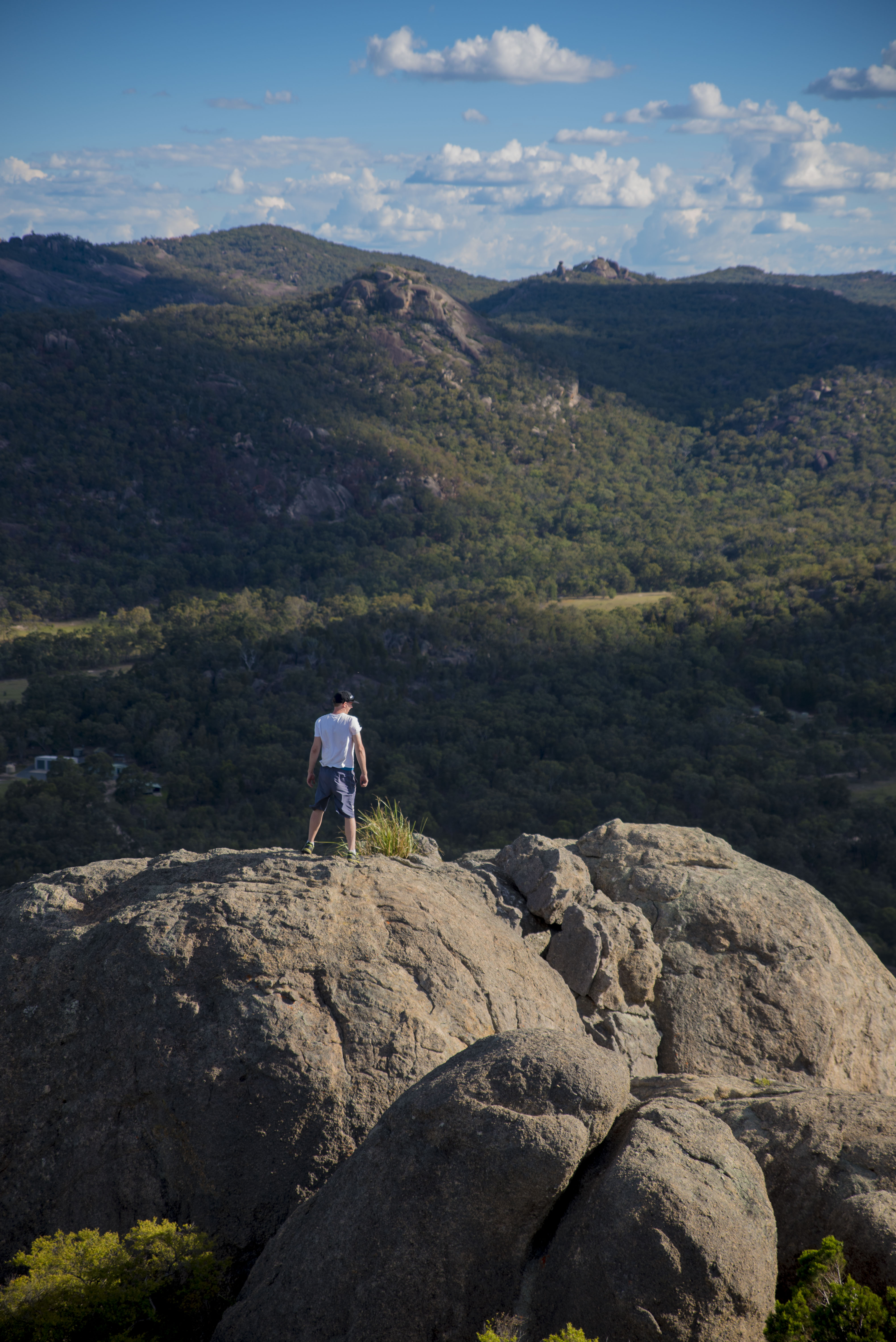
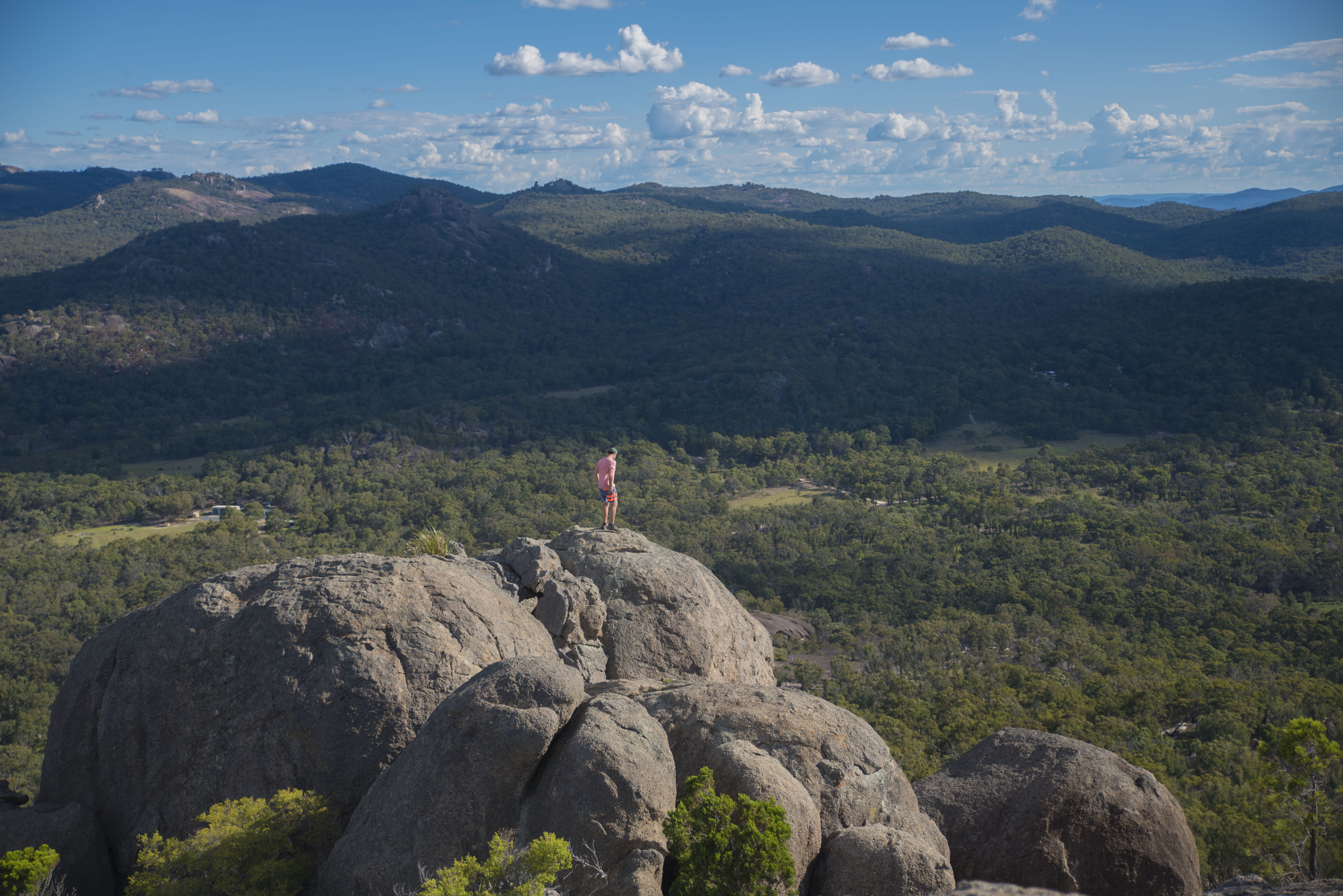
- Mark taking it all in from up here.
-

- Afternoon shade?
-
- Mark on the edge.

-

- Balancing Rock at the summit of The Pyramid.
-
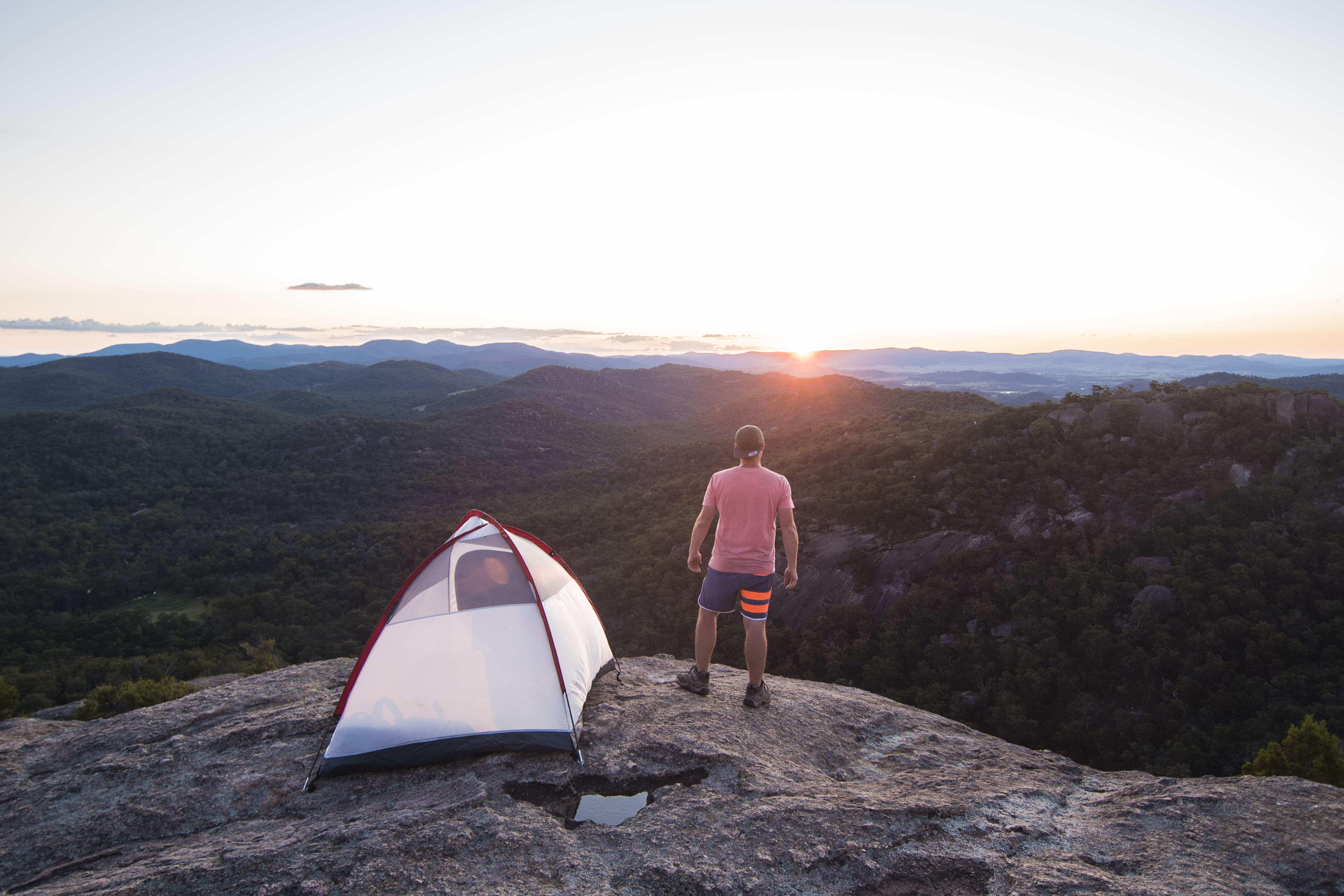
- Sunset approaches.
-

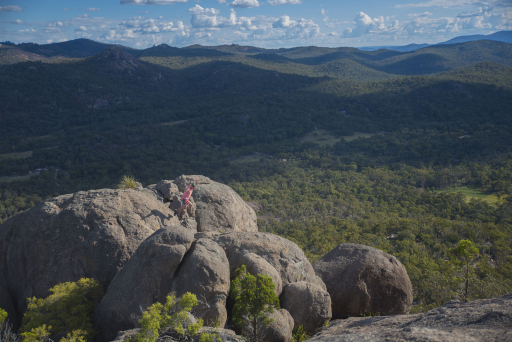
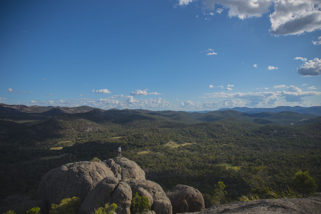
- Tiny spec; that’s Mark.
-
- Final ascent.

-
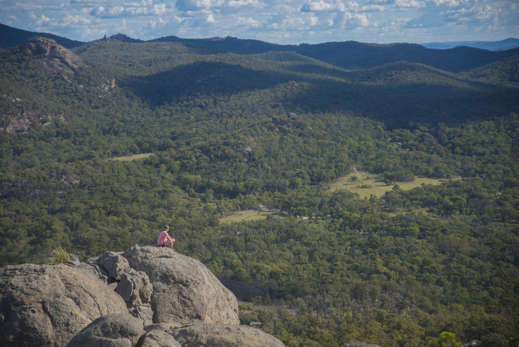
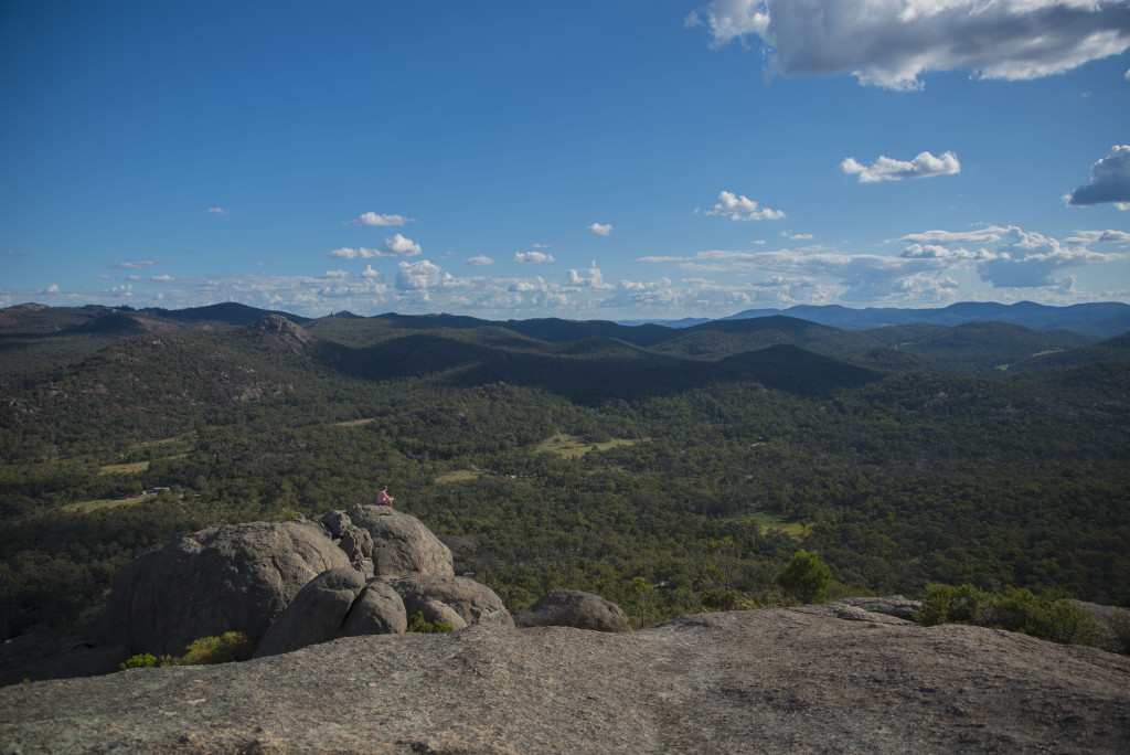
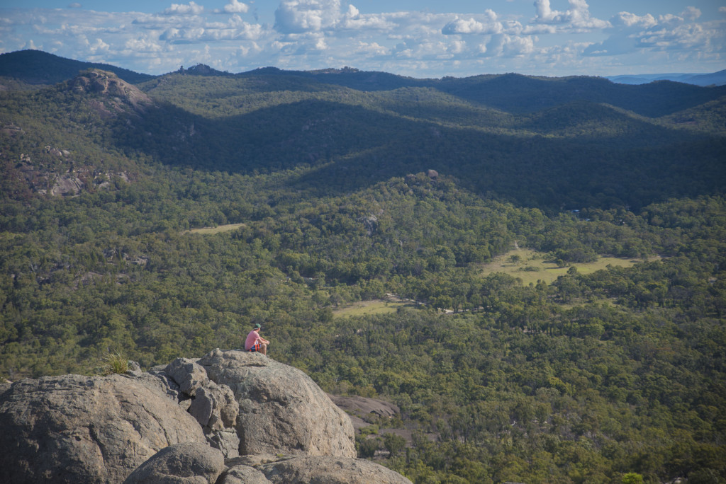
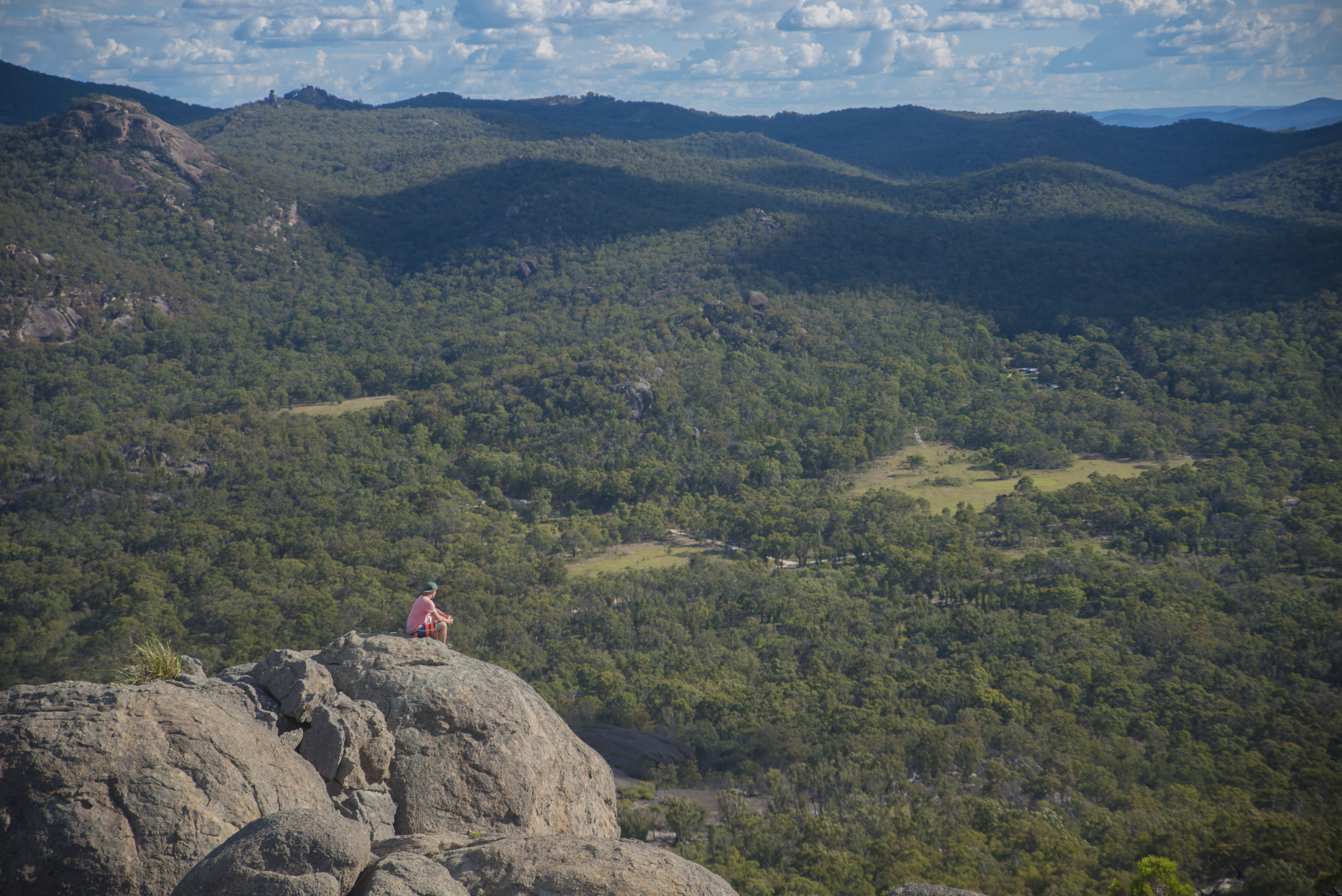
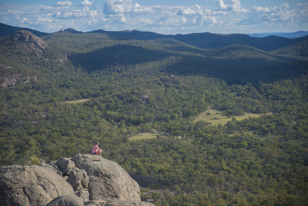
- Taking a seat at the top of Giraween National Park
-
- The serenity….

-

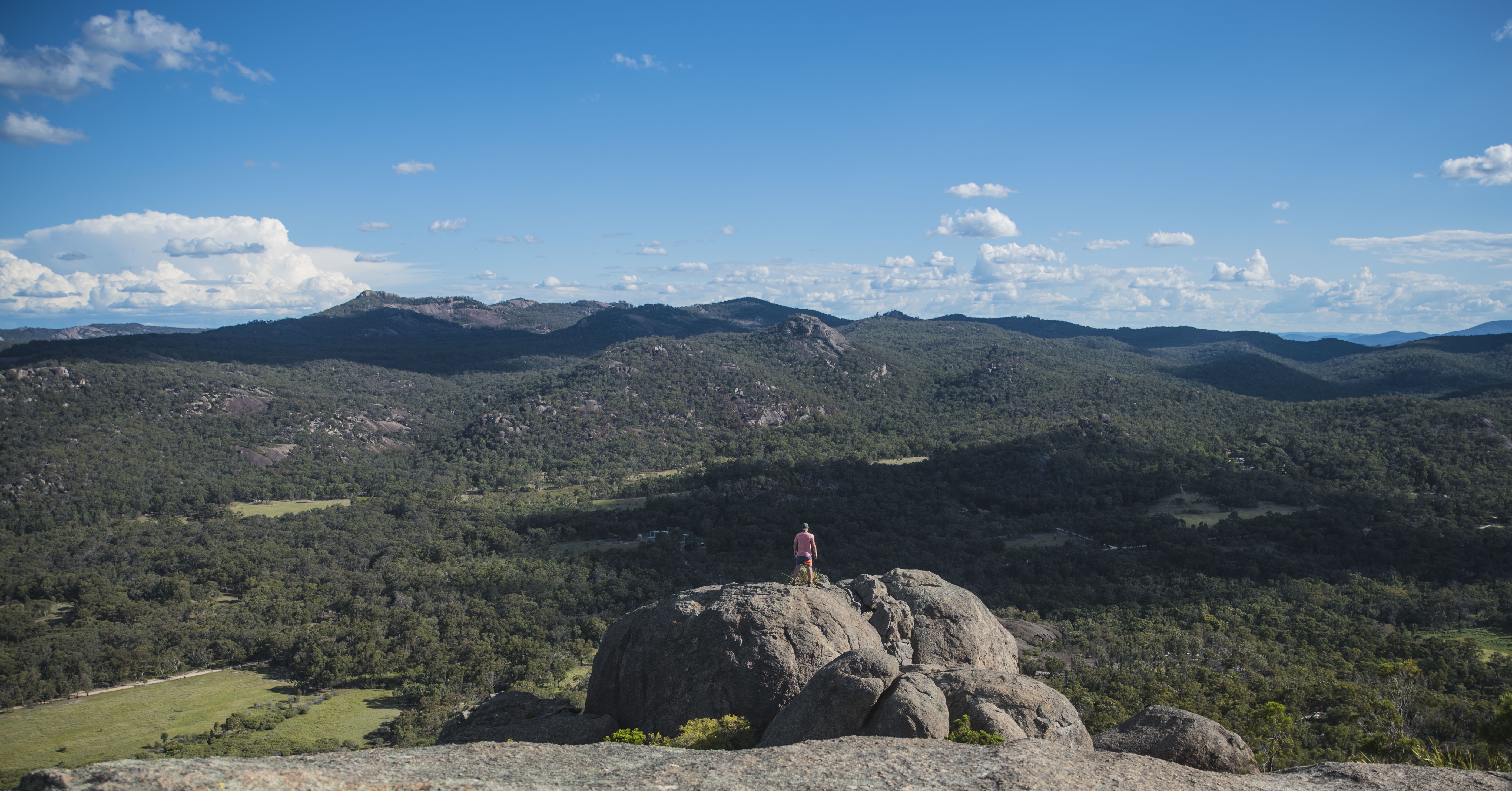
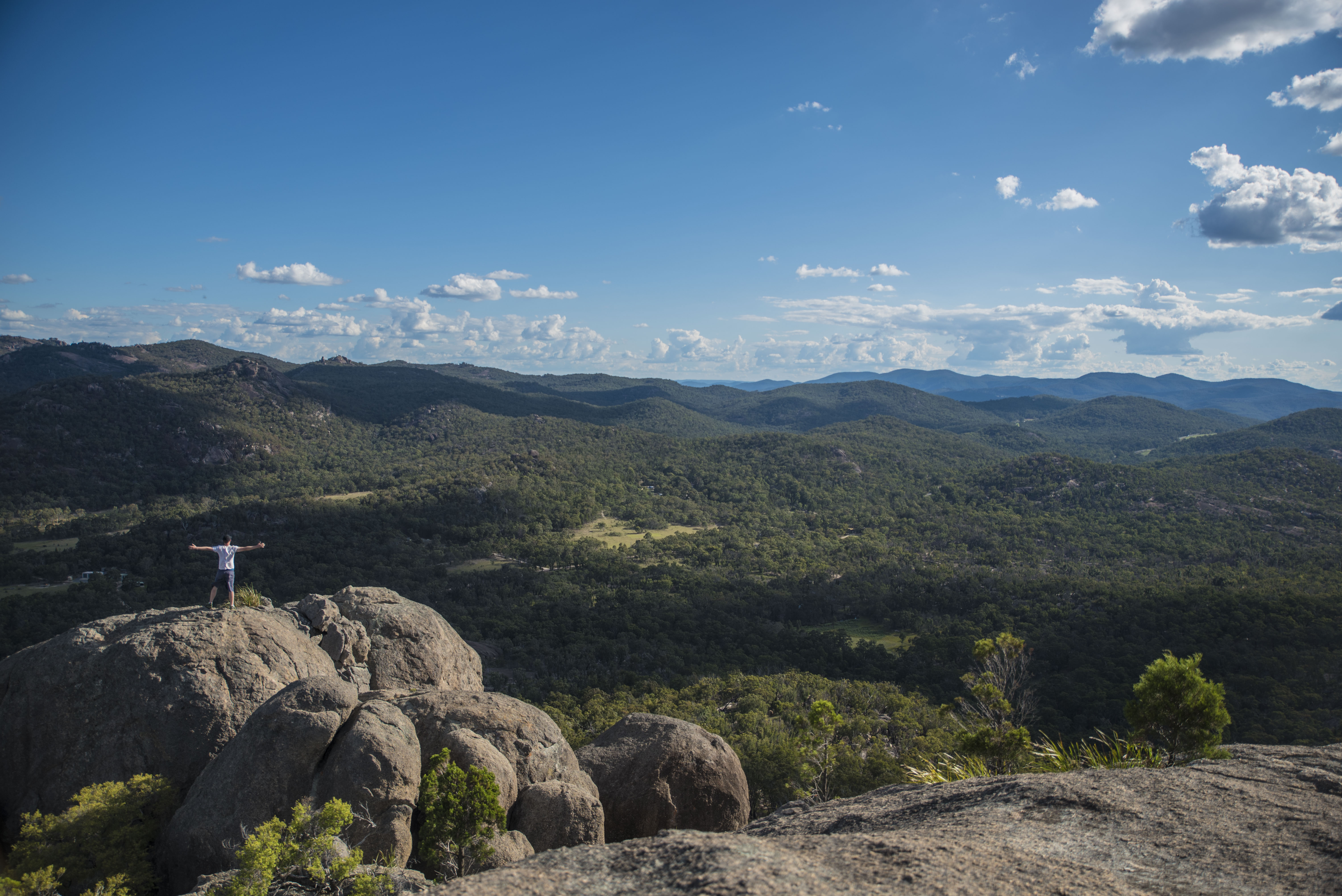
- Queensland from above.
-
- One more minute.
-
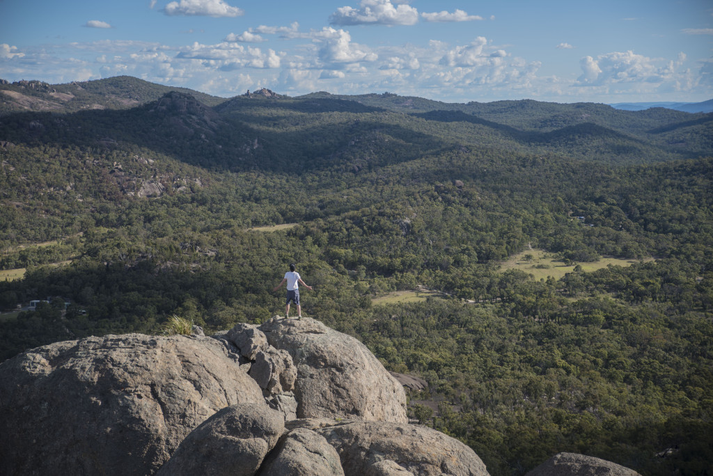
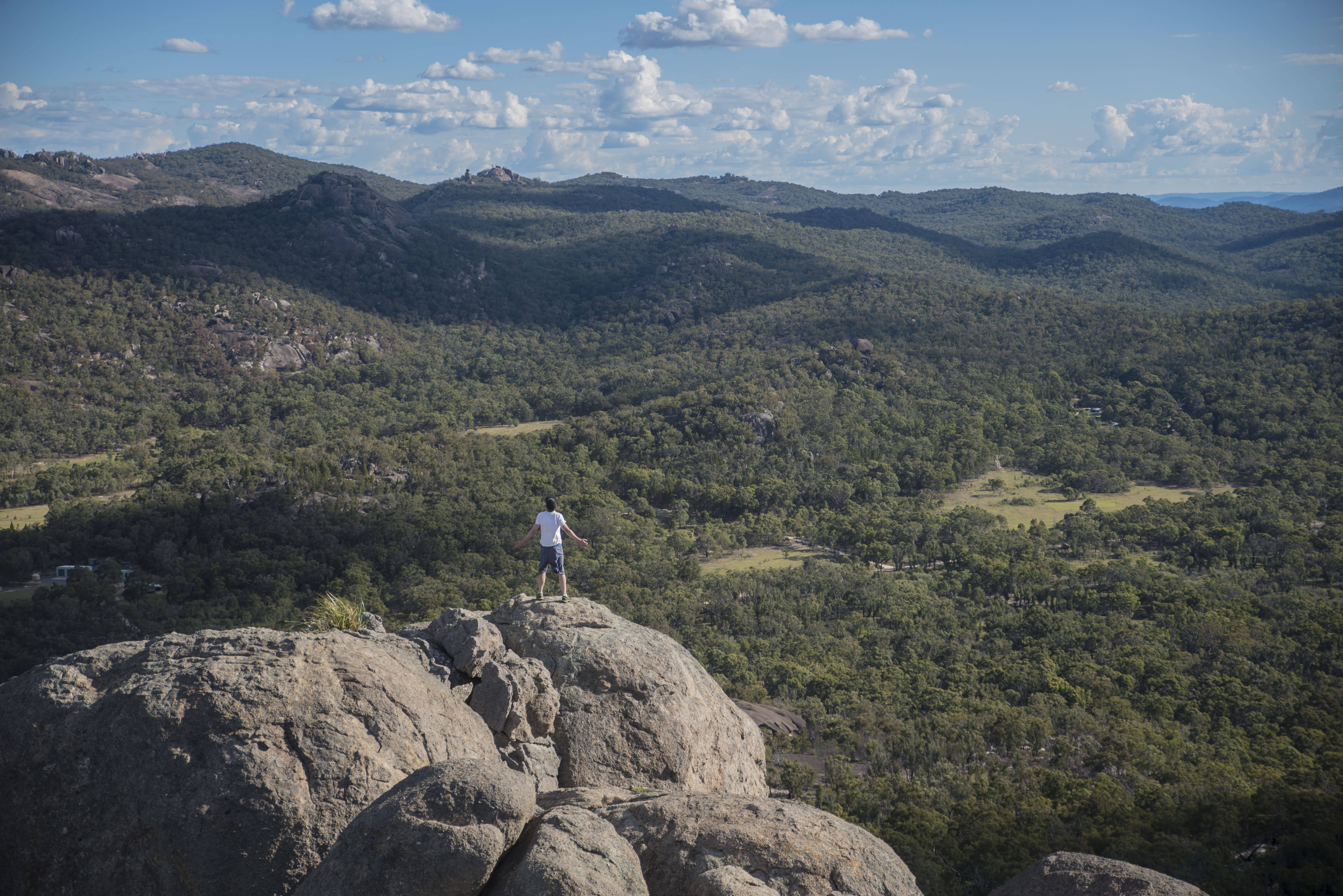
- Mark making the most of the view.
-

- Epic selfie 101; vast landscape, plonk yourself in the middle, stand still. Silly pose optional.
-

- Giraween’s last light.
-
- Still waiting on sunset.

-

- Awaiting sunset up Giraween National Park.
-

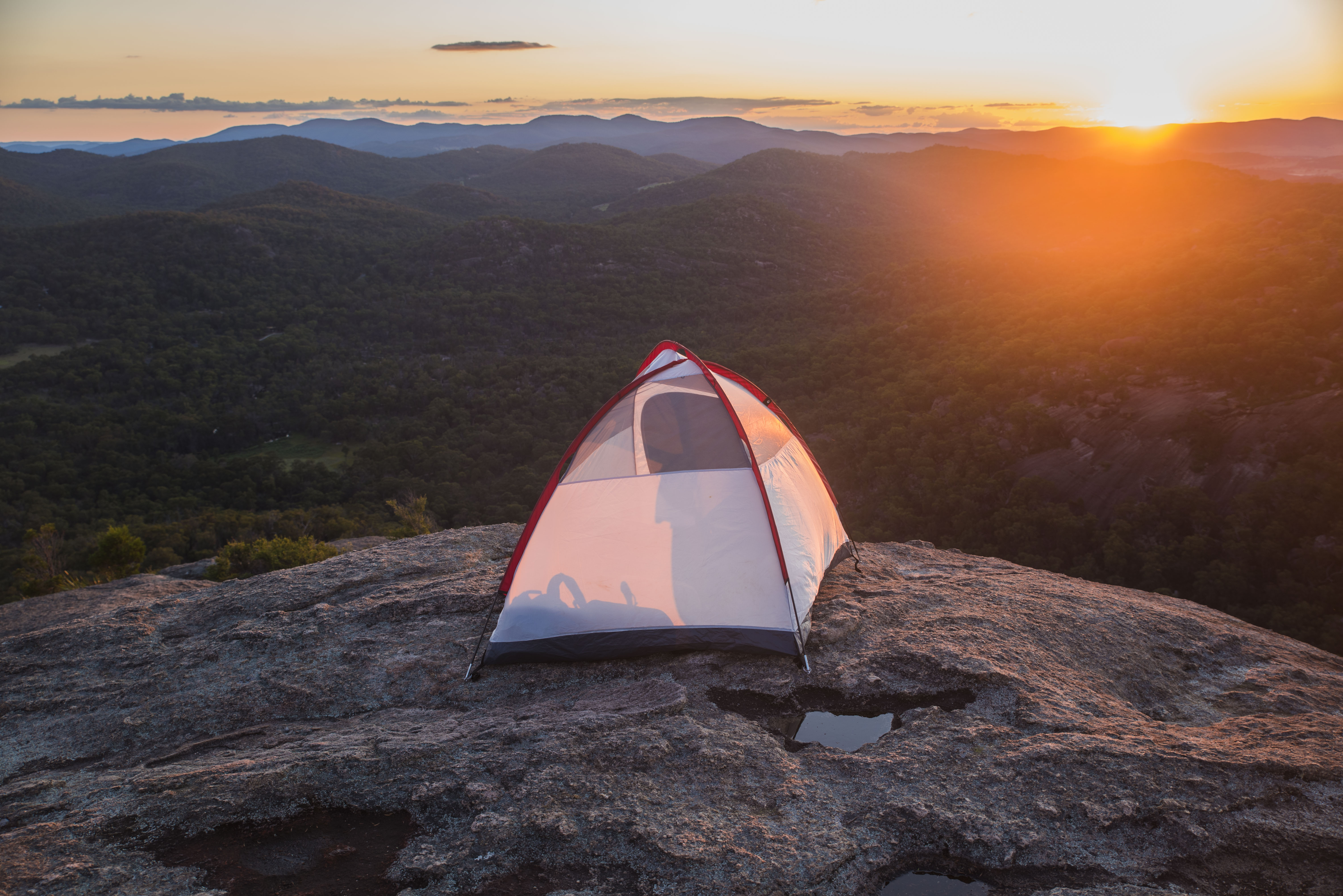
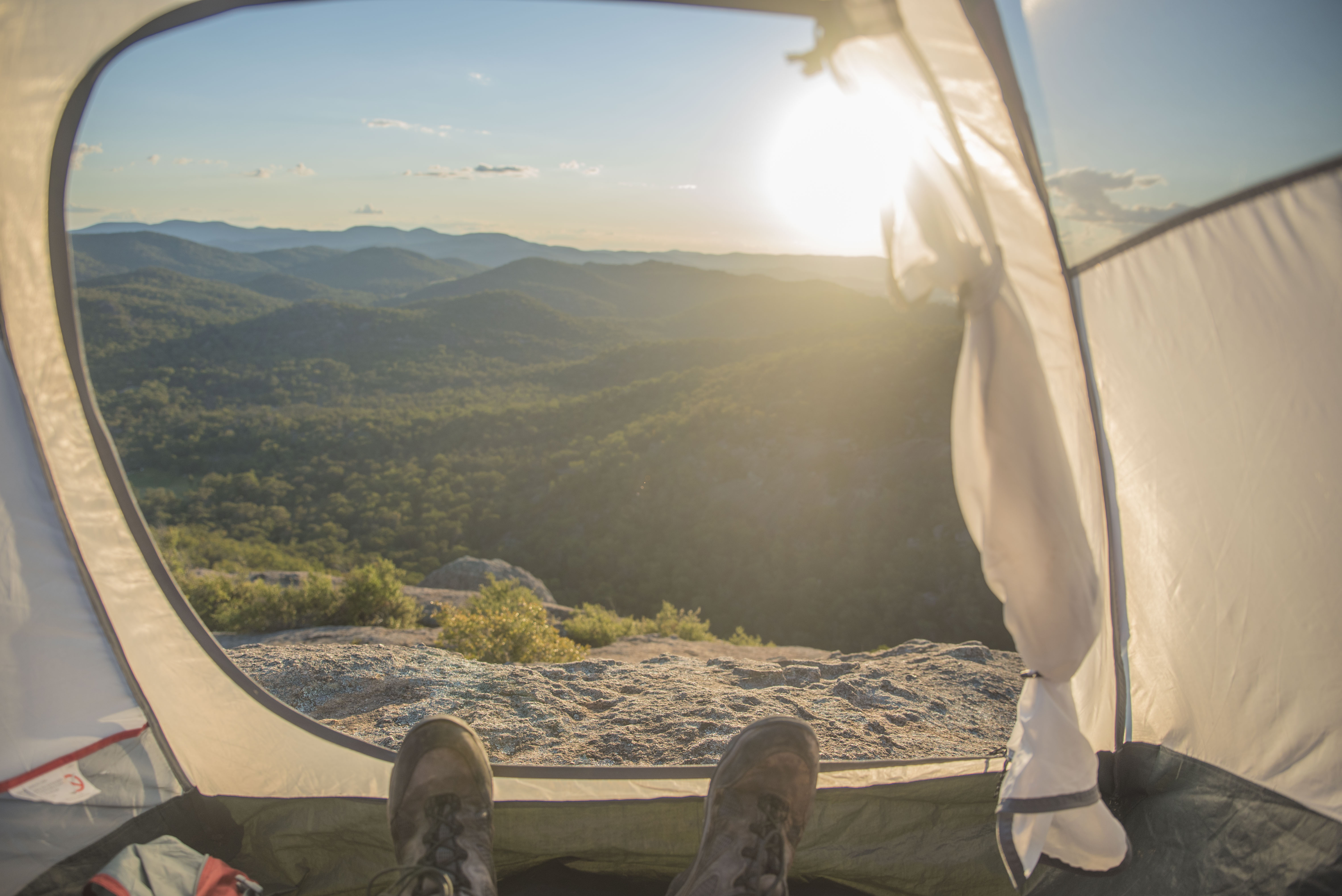
- Now we’re talking – somewhere to avoid the sun and get a nap in
-

- Behind the tent is where an ominous storm formed.
-
- Mid air 2.0.

-

- Selfie + Tent = This.
-
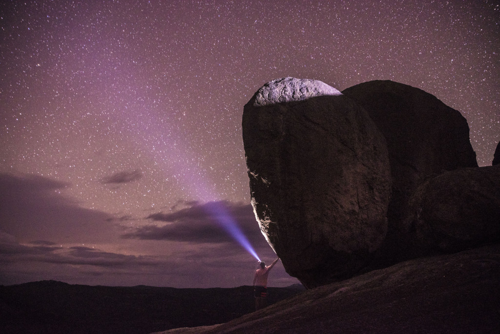
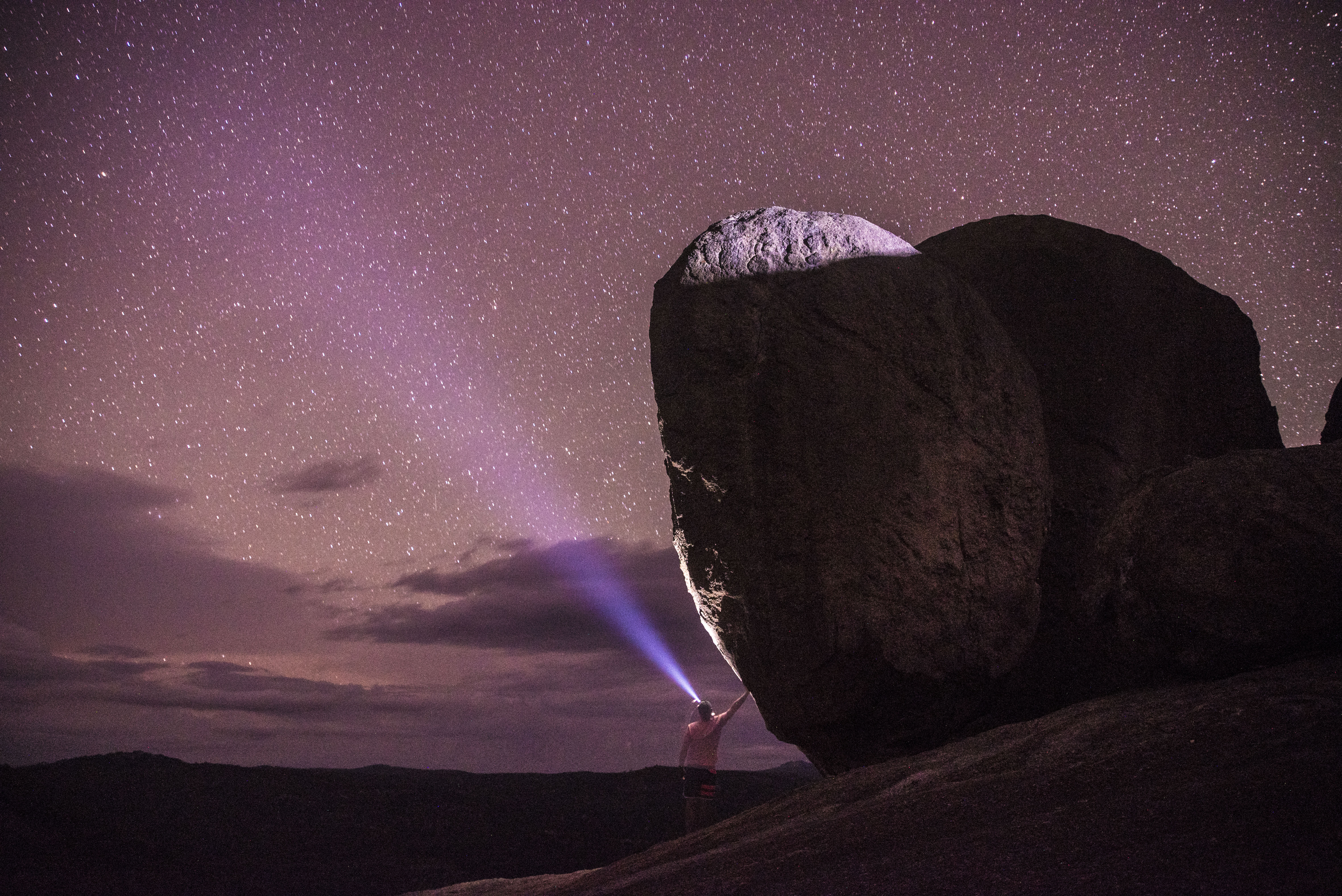
- Boulders amongst the stars.
-

- Come visit up here…
-
- Calling out, my ghostly silhouette.
After watching the sun set, for the stars and thunder storm to light the night sky, we made our way down through the night guided only by torchlight. After all, what goes up must come down. I will confess that going down is much easier on the legs, but my toes felt snug pushed hard against my shoes which had a bit of give. Back at the 4×4 we made our long way back to Brisbane. Arriving at home I found my way into bed seemingly exactly 24 hours later to where my adventurous road trip began with me frantically waking up.
Whilst only The Pyramid was scaled this time round, we will surely be back, perhaps when the Sunflowers are in bloom, to tackle the rest of Giraween National Park; Castle Rock, The Sphinx, Turtle Rock, and Mount Norman.
To follow myself or my friends on Instagram you can find us here:
– Me
– Mark
– Gareth
If you have any questions about this road trip and hike to know more, feel free to contact me! Let me know your thoughts!
